

.....einmal Rund um die Nordfriesiesche Insel Nordstrand.
von Hattstedt kommend geht es meist bei starkem Gegenwind über den Damm rüber
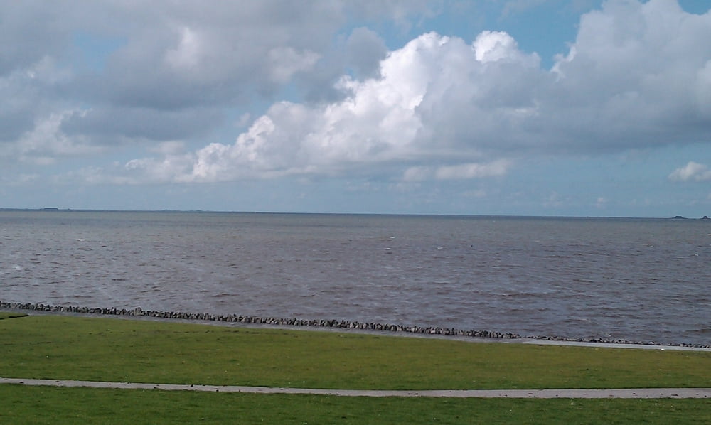
nach Nordstrand. Hier geht es dann erstmal weiter gegen den Wind bis zum Holmersiel.
Hier ist ein idealer Punkt für Fotos und eine kleine Pause.
Danach geht die Inselrunde weiter über die Orte Süden und Süderhafen wieder zurück über den
Damm zurück in Richtung Husum.
von Hattstedt kommend geht es meist bei starkem Gegenwind über den Damm rüber
nach Nordstrand. Hier geht es dann erstmal weiter gegen den Wind bis zum Holmersiel.
Hier ist ein idealer Punkt für Fotos und eine kleine Pause.
Danach geht die Inselrunde weiter über die Orte Süden und Süderhafen wieder zurück über den
Damm zurück in Richtung Husum.
galéria trás


Mapa trasy a výškový profil
Minimum height -6 m
Maximum height 28 m
More about the tour author

|
eagle_123 |
komentáre

GPS trasy
Trackpoints-
GPX / Garmin Map Source (gpx) download
-
TCX / Garmin Training Center® (tcx) download
-
CRS / Garmin Training Center® (crs) download
-
Google Earth (kml) download
-
G7ToWin (g7t) download
-
TTQV (trk) download
-
Overlay (ovl) download
-
Fugawi (txt) download
-
Kompass (DAV) Track (tk) download
-
list trasy (pdf) download
-
Original file of the author (gpx) download
More about the tour author
|
|
eagle_123 |
Add to my favorites
Remove from my favorites
Edit tags
Open track
My score
Rate