


Leider ist die Route anfangs etwas anders als im Moser Guide (Moser 11, Tour 16 Biotopo Marocche di Dro), da der Weg am linken Ufer der Sarca zunächt gesperrt ist. Später weicht sie nur am Motocross-Gebiet etwas ab, da inzwischen ein Golfplatz mitten in die Route gelegt wurde. Man kann den Golfplatz auf die harte Tour hangaufwärts über die Motocross-Strecke (Gps-Tour 7215) umfahren oder einfach geradeaus und praktischerweise am Ristorante kurz einkehren (der Track geht über die einfache Variante).Insgesamt eine richtig nette abwechselungsreiche Tour mit einigen tollen Trails im Marocche Biotop. Zum Ende geht alles über Aspalt nach Drena rauf und wieder runter. Allerdings scheint es viele Trails rechts und links zu geben. Die Höhenmeter im Moser stimmen in der Menge nicht. Daher ingesamt eine tolle Tour zum Warmwerden.
galéria trás
Mapa trasy a výškový profil
Minimum height 94 m
Maximum height 516 m
More about the tour author
|
|
ralph.trapp |
komentáre
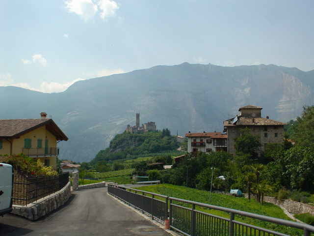
Start der Tour ist der Parkplatz am nördlichen Ende der Fussgängerzone in Arco direkt hinter der Sarca-Brücke.
GPS trasy
Trackpoints-
GPX / Garmin Map Source (gpx) download
-
TCX / Garmin Training Center® (tcx) download
-
CRS / Garmin Training Center® (crs) download
-
Google Earth (kml) download
-
G7ToWin (g7t) download
-
TTQV (trk) download
-
Overlay (ovl) download
-
Fugawi (txt) download
-
Kompass (DAV) Track (tk) download
-
list trasy (pdf) download
-
Original file of the author (g7t) download
More about the tour author
|
|
ralph.trapp |
Add to my favorites
Remove from my favorites
Edit tags
Open track
My score
Rate
Einsteigertour