Login

Zabudli ste prihlasovacia meno

Cookies have to be accepted!
Your browser's cookie functionality is disabled. Please enable this functionality.

Not a member yet?

Register now
Login

Available for registred users only

Log in to use this feature.

Zabudli ste prihlasovacia meno

Cookies have to be accepted!
Your browser's cookie functionality is disabled. Please enable this functionality.

Not a member yet?

Register now
Filter
Kategórie
Advanced filters
  • Dĺžka (km)
  • výškomer
Uložiť filter Reset filter

TrackRank

QRCode

Technical data

Dĺžka40,4 km výškomer1478 m Way down1466 m Doba05:00 h:m dátum23.08.2011
ohodnotenia Author User Kraj pôžitok z túry kondícia technika

štatistika

885 náhľady 3 ohodnotenia 253 Stiahnutia 4.00 priemer
Rate
  • list trasy
  • príjazd
  • Stiahnutia
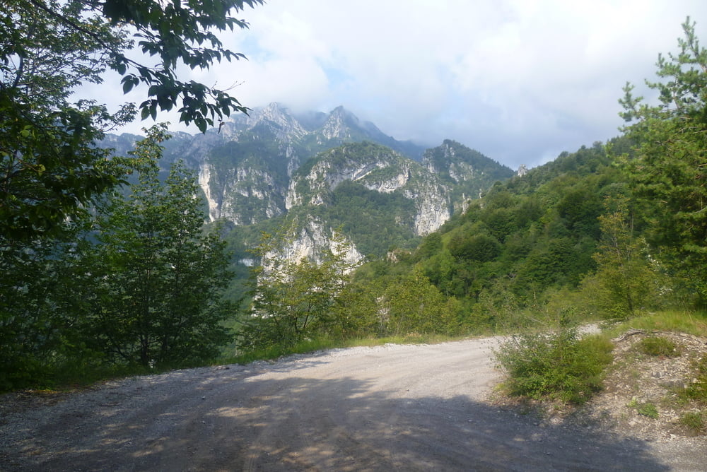
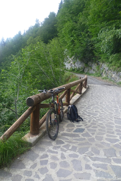
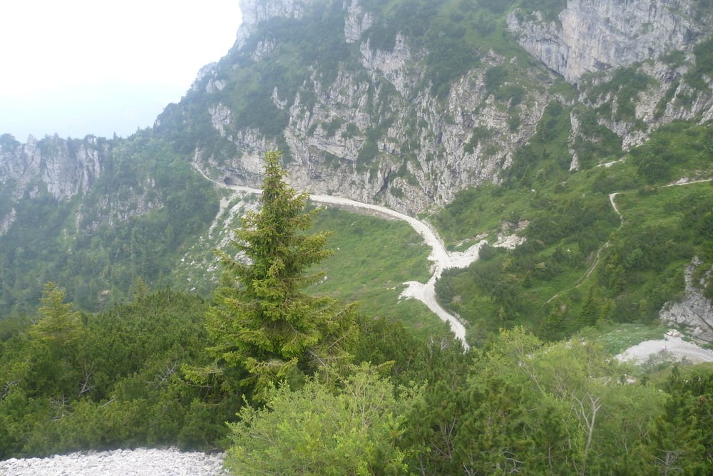
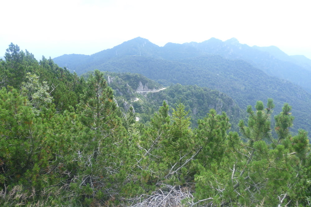
Prima Tour ab Vesio Parkplatz langer einsamer Aufstieg mit oft 15 - 25 % Steigung. Auf dem Tremalzo dann der Schock, Touristen, Motorräder  Restaurant. Aussicht geniessen und schnell weiter zum Pass. Nach dem Tunnel sagenhafter Blick all die vielen Kehren runter.  Kette rechts und runter Richtung Passo Nota. Hier nicht nach Vesio abbiegen, sondern dem Wegweiser zum Soldatenfriedhoffolgen. Kurzer Aufstieg, dannach aber schöne Singletrails leicht abfallend nach Vesio.

galéria trás

Mapa trasy a výškový profil

  • Open Street Map
  • Google
Minimum height 493 m Maximum height 1760 m Detailný pohľad

More about the tour author

wuestenmaus
Member since 2011

Send private message

komentáre

kurbler on 09.04.2017

super tour

sind heute (9.4.17) die tour gefahren, super track, der Aufstieg hat es teilweise in sich zeitweise 18% Steigung, oben hinaus entspannt sich die Sache zwischen 9 und 12%, super tolle Aussicht, Abwechslungsreich, oben am passo de Tremalzo hatten wir einwenig Schnee. Die Abfahrt ist auch klasse. Die Tour unbedingt wie der Autor in Uhrzeigersinn fahren, macht mehr Spaß, denke das sie auch gegen den Uhrzeigersinn sich fahren lässt. Danke für den Track

GPS trasy

Trackpoints
  • GPX / Garmin Map Source (gpx) download
  • TCX / Garmin Training Center® (tcx) download
  • CRS / Garmin Training Center® (crs) download
  • Google Earth (kml) download
  • G7ToWin (g7t) download
  • TTQV (trk) download
  • Overlay (ovl) download
  • Fugawi (txt) download
  • Kompass (DAV) Track (tk) download
  • list trasy (pdf) download
  • Original file of the author (tcx) download

More about the tour author

wuestenmaus
Member since 2011

Send private message
Share track
Add to my favorites
Remove from my favorites
Edit tags
My score
Rate
trasa: Tremalzo ab Vesio
Druh: horský bicykel
Dĺžka: 40,4 km
Evaluated on:
Doba:
Day(s)
Hour(s)
Minute(s)
ohodnotenie: Kraj pôžitok z túry kondícia technika