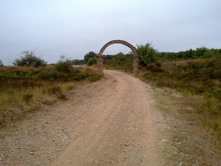
Dieses Tour führt durch die Pisten von "Sainte Colombe la Commanderie" nach "Saint Colombe de las Illas". Der Tour ist zwar kurz, aber anstrengend, da die Fahrt durch die Piste (etwa die Hälfte) aus viele Ausstiege und Abstiege besteht.
Mapa trasy a výškový profil
Minimum height 98 m
Maximum height 609 m
komentáre

GPS trasy
Trackpoints-
GPX / Garmin Map Source (gpx) download
-
TCX / Garmin Training Center® (tcx) download
-
CRS / Garmin Training Center® (crs) download
-
Google Earth (kml) download
-
G7ToWin (g7t) download
-
TTQV (trk) download
-
Overlay (ovl) download
-
Fugawi (txt) download
-
Kompass (DAV) Track (tk) download
-
list trasy (pdf) download
-
Original file of the author (gpx) download
Add to my favorites
Remove from my favorites
Edit tags
Open track
My score
Rate

