Login

Zabudli ste prihlasovacia meno

Cookies have to be accepted!
Your browser's cookie functionality is disabled. Please enable this functionality.

Not a member yet?

Register now
Login

Available for registred users only

Log in to use this feature.

Zabudli ste prihlasovacia meno

Cookies have to be accepted!
Your browser's cookie functionality is disabled. Please enable this functionality.

Not a member yet?

Register now
Filter
Kategórie
Advanced filters
  • Dĺžka (km)
  • výškomer
Uložiť filter Reset filter

TrackRank

QRCode

Technical data

Dĺžka12,6 km výškomer844 m Way down850 m Doba00:00 h:m dátum28.08.2011
ohodnotenia Author Kraj pôžitok z túry kondícia technika

štatistika

400 náhľady ohodnotenia 55 Stiahnutia priemer
Rate
  • list trasy
  • príjazd
  • Stiahnutia

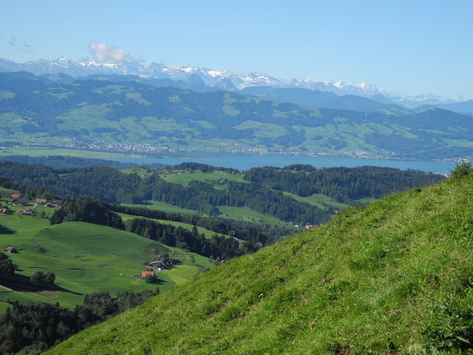
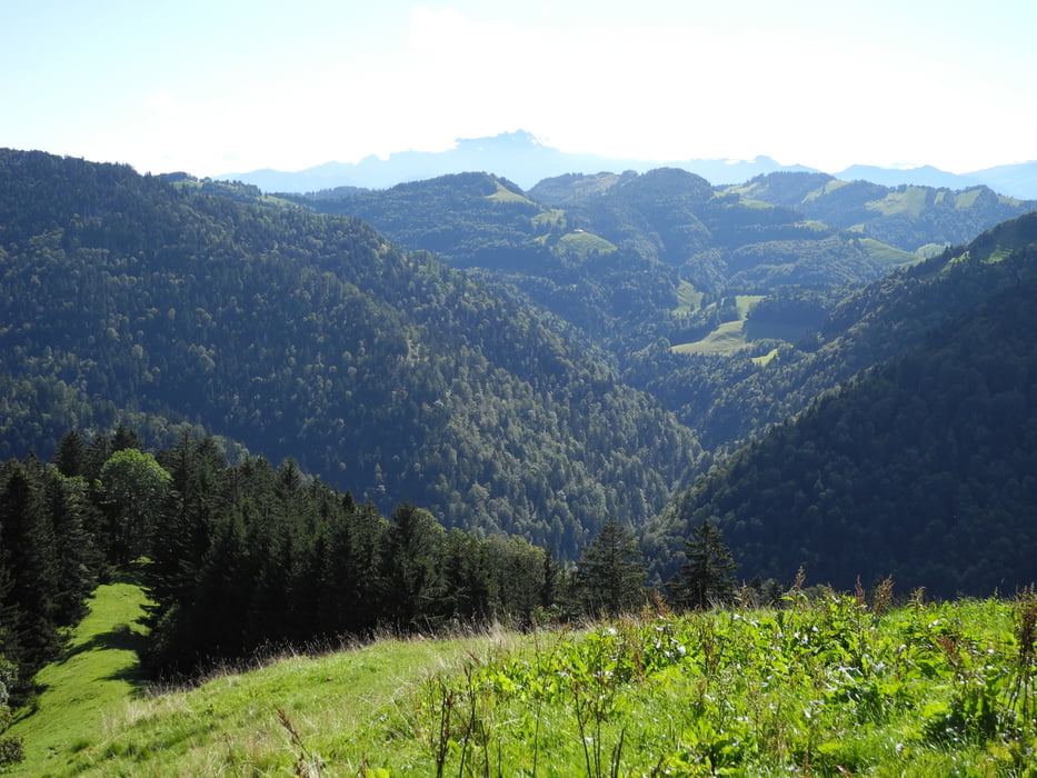
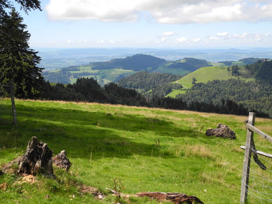
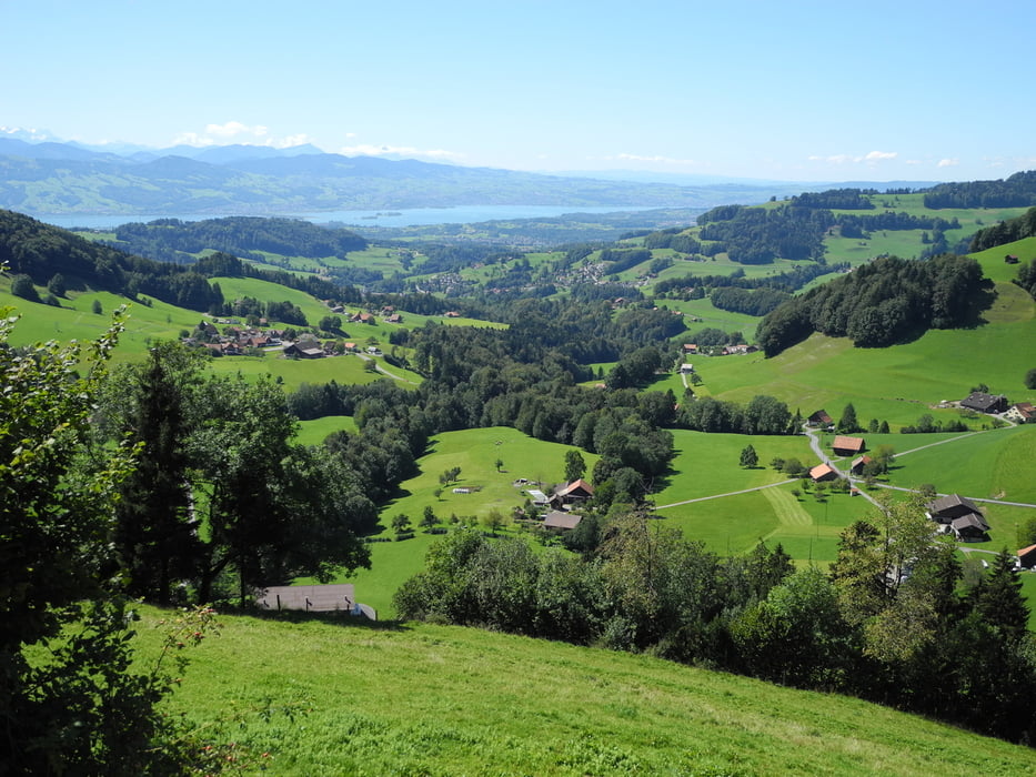
Wanderung zu drei Höhepunkten im Tössstockgebiet:

Wolfsgrueb (Parkplatz) - Scheidegg - Hüttchopf - Tössscheidi (steiler Abstieg) - Hand - Höchhand (teilweise etwas exponierte Stellen, mit Drahtseil gesichert) - Schwarzenberg - Wolfsgrueb.

galéria trás

Mapa trasy a výškový profil

  • Open Street Map
  • Google
Minimum height 521 m Maximum height 1306 m Detailný pohľad

More about the tour author

gerosa
Member since 2009

Send private message

komentáre

GPS trasy

Trackpoints
  • GPX / Garmin Map Source (gpx) download
  • TCX / Garmin Training Center® (tcx) download
  • CRS / Garmin Training Center® (crs) download
  • Google Earth (kml) download
  • G7ToWin (g7t) download
  • TTQV (trk) download
  • Overlay (ovl) download
  • Fugawi (txt) download
  • Kompass (DAV) Track (tk) download
  • list trasy (pdf) download
  • Original file of the author (gpx) download

More about the tour author

gerosa
Member since 2009

Send private message
Share track
Add to my favorites
Remove from my favorites
Edit tags
My score
Rate
trasa: Im Tössstockgebiet
Druh: trasa
Dĺžka: 12,6 km
Evaluated on:
Doba:
Day(s)
Hour(s)
Minute(s)
ohodnotenie: Kraj pôžitok z túry kondícia technika