
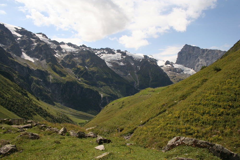

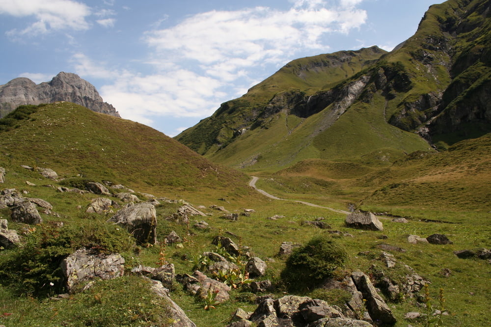
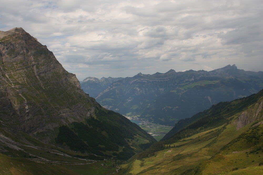
Von Engelberg geht es zunächst über Teerstrassen. Nach einer gewissen Zeit wird der Weg aber einsamer und interessanter. Ein Erlebnis ist der Passübergang, da sich hier oben ein toller Blick ins neue Tal eröffnet.
Die Wege sind leicht zu gehen. Es ist eine interessante Tour vom touristischen Engelberg ins ursprünglichere Uri.
galéria trás
Mapa trasy a výškový profil
Minimum height 1056 m
Maximum height 2294 m
More about the tour author
|
|
s-braeutigam |
komentáre

Mit der Zentralbahn bis Engelberg, von dort mit dem Gratis-Ortsbus (http://www.fuerenalp.ch/downloads/busfahrplan.pdf) bis Talstation der Seilbahn zur Fürenalp.
Ab Brüsti mit der Seilbahn nach Attinghausen. Von dort zu Fuss oder mit dem Bus zur SBB-Station in Altdorf. Wir erhielten ab der Talstation eine spontane Mitfahrgelegenheit zur SBB.
GPS trasy
Trackpoints-
GPX / Garmin Map Source (gpx) download
-
TCX / Garmin Training Center® (tcx) download
-
CRS / Garmin Training Center® (crs) download
-
Google Earth (kml) download
-
G7ToWin (g7t) download
-
TTQV (trk) download
-
Overlay (ovl) download
-
Fugawi (txt) download
-
Kompass (DAV) Track (tk) download
-
list trasy (pdf) download
-
Original file of the author (gpx) download
More about the tour author
|
|
s-braeutigam |
Add to my favorites
Remove from my favorites
Edit tags
Open track
My score
Rate