


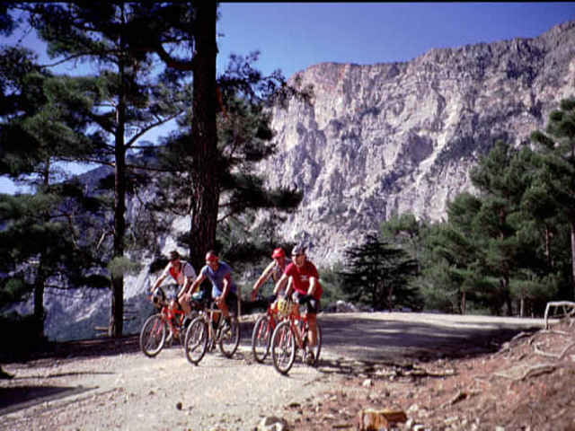
Diese sehr abwechslungsreiche und wunderbare Tour - im Stil von "München - Venedig" ist ohne logistische Unterstützung sehr schwer zu realisieren. Selbst mit unserer Hilfe (Entdecker und Entwickler dieser Strecke) wird jedem einiges abverlangt. Wer aber unbedingt das DING alleine schaukeln will kann von uns weitergehende Informationen anfordern. Höhenmeter und Laenge können wir nach Lust und Laune der Teilnehmer gestalten, Einzelfahrer müssen diese Wege selber suchen. Zu bedenken ist, dass es keinerlei Hüttenwirtschaft unterwegs gibt. Wenn man sich allerdings auf die Gastfreundschaft der türkischen Nomaden einlassen kann dann muss man diese Tour machen, auch wenn man ALLEINE ist.!!! Wir stellten hier nicht alle Daten zur Verfügung. Rest auf Anfrage.
Further information at
http://www.greatoutdoorsports.comgaléria trás
Mapa trasy a výškový profil
Minimum height 4 m
Maximum height 1990 m
More about the tour author
|
|
lykienbiker |
komentáre

Auf Anfrage.
GPS trasy
Trackpoints-
GPX / Garmin Map Source (gpx) download
-
TCX / Garmin Training Center® (tcx) download
-
CRS / Garmin Training Center® (crs) download
-
Google Earth (kml) download
-
G7ToWin (g7t) download
-
TTQV (trk) download
-
Overlay (ovl) download
-
Fugawi (txt) download
-
Kompass (DAV) Track (tk) download
-
list trasy (pdf) download
-
Original file of the author (gpx) download
More about the tour author
|
|
lykienbiker |
Add to my favorites
Remove from my favorites
Edit tags
Open track
My score
Rate