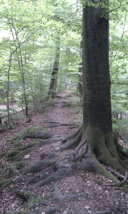
Kleine Wanderung die auch Kinder begeistert. Der erste Teil der Wanderung verläuft auf der im 17ten Jahrhundert erbauten Eppinger Linie. Dieser schmale, teilweise verwurzelte Pfad mit seinem ständigen Auf und Ab ist für Kinder besonders interessant zu laufen. Nach einem kleinen Abstecher in das hübsche Dörfchen Schmie sind wir auch bald wieder am Parkplatz angelangt.
Mapa trasy a výškový profil
Minimum height 281 m
Maximum height 320 m
komentáre

Wanderparkplatz an der B35 zwischen Maulbronn Ost und Mitte.
GPS trasy
Trackpoints-
GPX / Garmin Map Source (gpx) download
-
TCX / Garmin Training Center® (tcx) download
-
CRS / Garmin Training Center® (crs) download
-
Google Earth (kml) download
-
G7ToWin (g7t) download
-
TTQV (trk) download
-
Overlay (ovl) download
-
Fugawi (txt) download
-
Kompass (DAV) Track (tk) download
-
list trasy (pdf) download
-
Original file of the author (gpx) download
Add to my favorites
Remove from my favorites
Edit tags
Open track
My score
Rate

