


St.Ulrich - Tiers
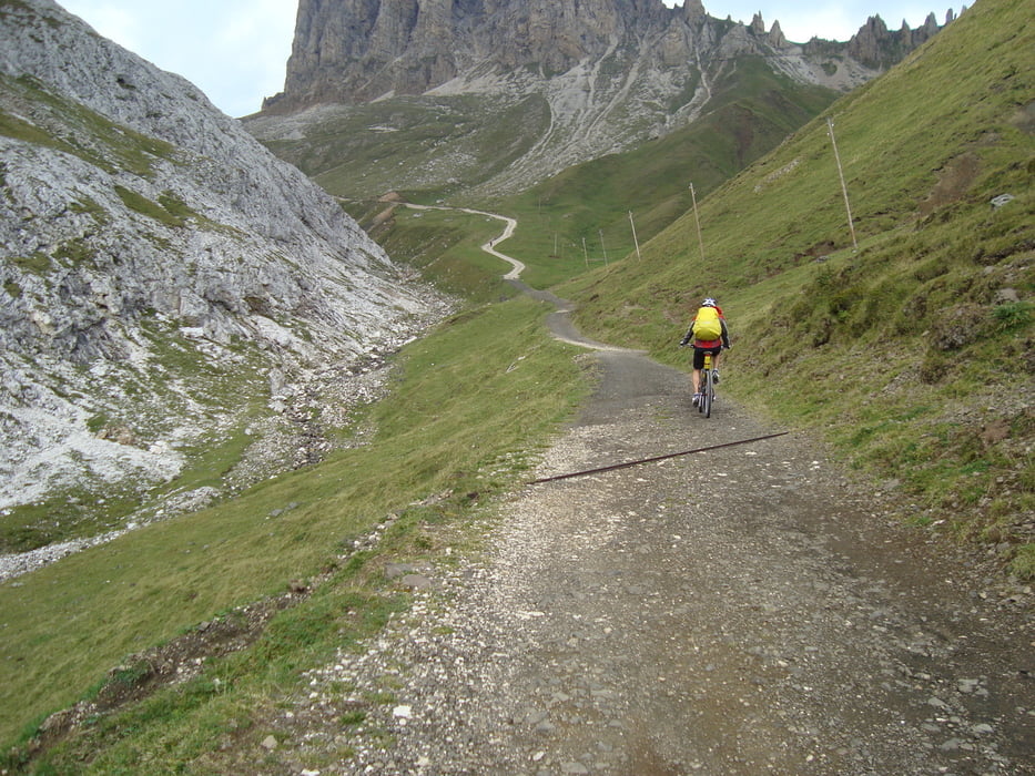
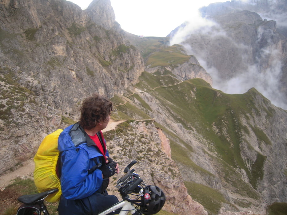
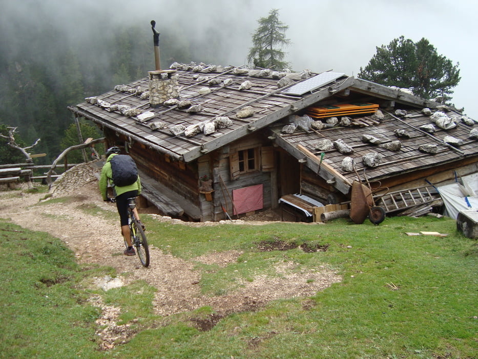
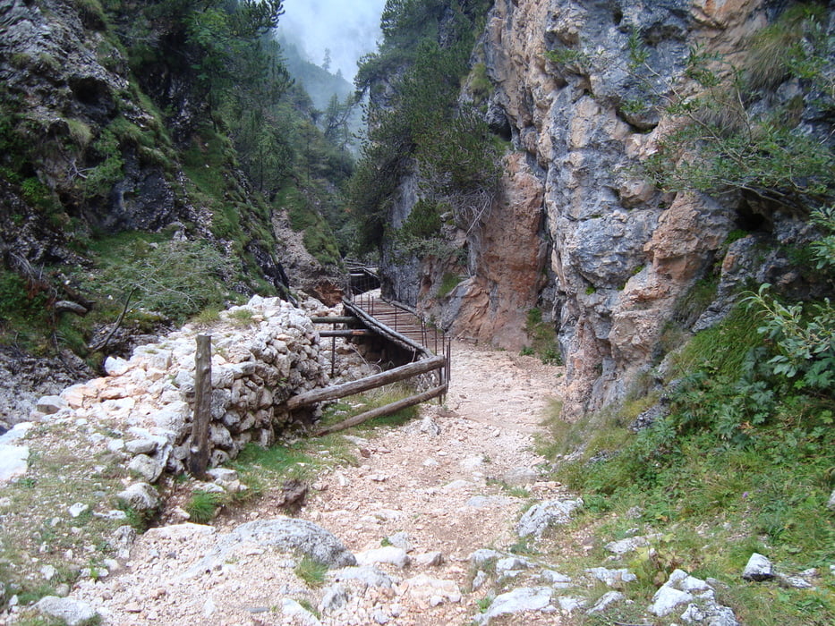
Die erste Tour führt über das Naturschutzgebiet Schlern-Rosengarten hinauf zur Tierser Alm auf 2240m. Jetzt das Rad 320hm in unwegsamen Gelände tragen und schieben bis zum höchsten Punkt der Tagestour auf 2560m. Am Grad des Schlerns kann man wieder fahren bis zum Rif.Bolzano. Dann gehts abwärts bis zum Knüppelsteig immer wieder auf und absitzen. Zum Schluss gibt es zur Belohnung für eine stundenlange Schieberei ein technisch anspruchsvoller wunderschöner Trail später einen langen Trail durch den Wald nach Tiers.
Bei der ersten Tour zeigten die Dolomiten gleich ihre Zähne !!
mehr Bilder: seppdepp.heim.at
galéria trás
Mapa trasy a výškový profil
Minimum height 850 m
Maximum height 2602 m
More about the tour author
|
|
Atzbach |
komentáre

GPS trasy
Trackpoints-
GPX / Garmin Map Source (gpx) download
-
TCX / Garmin Training Center® (tcx) download
-
CRS / Garmin Training Center® (crs) download
-
Google Earth (kml) download
-
G7ToWin (g7t) download
-
TTQV (trk) download
-
Overlay (ovl) download
-
Fugawi (txt) download
-
Kompass (DAV) Track (tk) download
-
list trasy (pdf) download
-
Original file of the author (gpx) download
More about the tour author
|
|
Atzbach |
Add to my favorites
Remove from my favorites
Edit tags
Open track
My score
Rate