


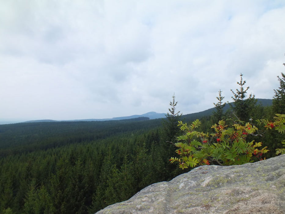
Vom Wernigeröder Bahnhof aus folgt man dem Schild "Alle Richtungen", weiter bis Richtung Schierke. Dann in Hasserode an der HS Harz vorbei und dann über die Bahnschienen der HSB den Forstweg Richtung 3 Annen Hohne. Dort eigenet sich der Bahnhof als Guter Rastplatz. (Imbisss) Die Fotofans haben auch genug möglichkeit die HSB zu Fotografieren. Nach der Rast, dann immer den Glashütteweg hinauf bis zur Brockenstrasse. Die Brockenstrasse wird derzeit saniert bzw neu Asphaltiert welche der Abfahrt richtung Schierke den Reiz nochmehr erhöht. :-)
Zurück ging es dann die Brockenstrasse richtung Schierke hinunter nach Elend, Elbingerode nach Blankenburg. Als Fahrwege war alles Vorhanden, Alphaltstrassen, Waldwege, Forstautobahnen und ein paar nette Trials. Alles in allem eine schöne Tour. Wird auch nicht meine letzte Brockentour gewesen sein.
galéria trás


Mapa trasy a výškový profil
Minimum height 177 m
Maximum height 1142 m
More about the tour author
|
|
RominGood |
komentáre

GPS trasy
Trackpoints-
GPX / Garmin Map Source (gpx) download
-
TCX / Garmin Training Center® (tcx) download
-
CRS / Garmin Training Center® (crs) download
-
Google Earth (kml) download
-
G7ToWin (g7t) download
-
TTQV (trk) download
-
Overlay (ovl) download
-
Fugawi (txt) download
-
Kompass (DAV) Track (tk) download
-
list trasy (pdf) download
-
Original file of the author (gpx) download
More about the tour author
|
|
RominGood |
Add to my favorites
Remove from my favorites
Edit tags
Open track
My score
Rate