Login

Zabudli ste prihlasovacia meno

Cookies have to be accepted!
Your browser's cookie functionality is disabled. Please enable this functionality.

Not a member yet?

Register now
Login

Available for registred users only

Log in to use this feature.

Zabudli ste prihlasovacia meno

Cookies have to be accepted!
Your browser's cookie functionality is disabled. Please enable this functionality.

Not a member yet?

Register now
Filter
Kategórie
Advanced filters
  • Dĺžka (km)
  • výškomer
Uložiť filter Reset filter

TrackRank

QRCode

Technical data

Dĺžka49,1 km výškomer477 m Way down491 m Doba04:00 h:m dátum17.09.2011
ohodnotenia Author Kraj pôžitok z túry kondícia technika

štatistika

984 náhľady 1 ohodnotenie 108 Stiahnutia 5.00 priemer
Rate
  • list trasy
  • príjazd
  • Stiahnutia

Diese Tour wurde von Radsportfreunden aus Hilden bereits 2009 oder 2010 eingestellt. Geringfügige Abweichungen durch den Start am S-Bahnhof Eller.

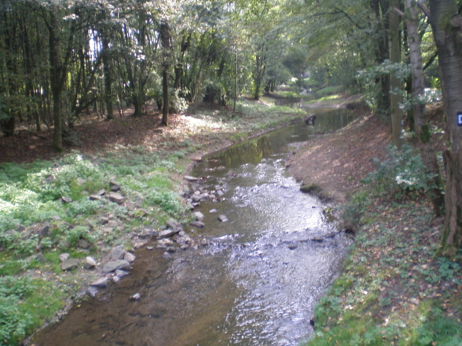
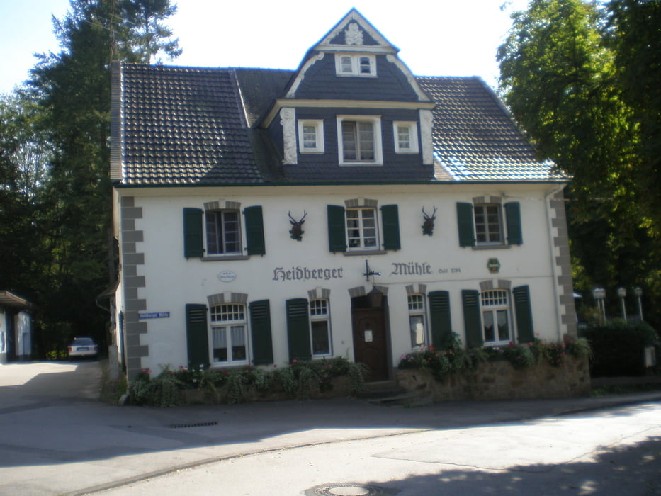
Am Unterbacher See vorbei, durch Hilden, dann durchs Landschaftsschutzgebiet Itter, an der Grube 7 (früher Kalksteinabbau) vorbei zum Neandertal. Nach dem Neandertalmuseum noch einige kräftige Anstiege, durch Erkrath zurück zum Ausgangspunkt Eller.


galéria trás

Mapa trasy a výškový profil

  • Open Street Map
  • Google
Minimum height 37 m Maximum height 220 m Detailný pohľad

More about the tour author

GuenterM
Member since 2010

Send private message

komentáre

GPS trasy

Trackpoints
  • GPX / Garmin Map Source (gpx) download
  • TCX / Garmin Training Center® (tcx) download
  • CRS / Garmin Training Center® (crs) download
  • Google Earth (kml) download
  • G7ToWin (g7t) download
  • TTQV (trk) download
  • Overlay (ovl) download
  • Fugawi (txt) download
  • Kompass (DAV) Track (tk) download
  • list trasy (pdf) download
  • Original file of the author (gpx) download

More about the tour author

GuenterM
Member since 2010

Send private message
Share track
Add to my favorites
Remove from my favorites
Edit tags
My score
Rate
trasa: Vom Eller Bahnhof durchs Itter- und Neandertal
Druh: trekingové bicykle
Dĺžka: 49,1 km
Evaluated on:
Doba:
Day(s)
Hour(s)
Minute(s)
ohodnotenie: Kraj pôžitok z túry kondícia technika