


Start in der Falkenstraße zum Zweitstart Jugendheimplatz bzw. Von-Vincke-Straße, Ri. Elberfelder Straße und Höveler Weg durch das Ilex-Wäldchen und hinunter ins Ennepetal bis Nordeler Schleifkotten, dann Richtung Becke, hier links hoch über den Wanderweg bis Ober-Vahlefeld und zur Straße zum Kreisch, in Vahlefelder Heide hinter nach Vormbaum und hier wieder hoch zur L 528 bis Grünenbaum, dann nach li. Richtung Glörtalsperre, diese tlw. umrunden und wieder hoch nach Rotthausen, über Wanderweg parallel zur Hauptstraße bis zur Straße und weiter über Schöneberge Ri. Krausebuche, vor dem Wald li. einbiegen und weiter über Weg bis zur L 528, über Hagener Straße zur Neustadt und nach Hause.
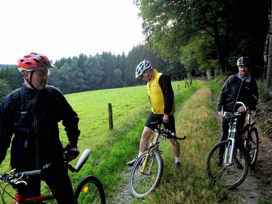
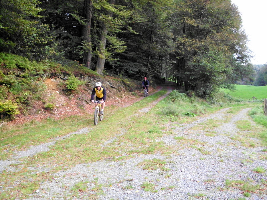
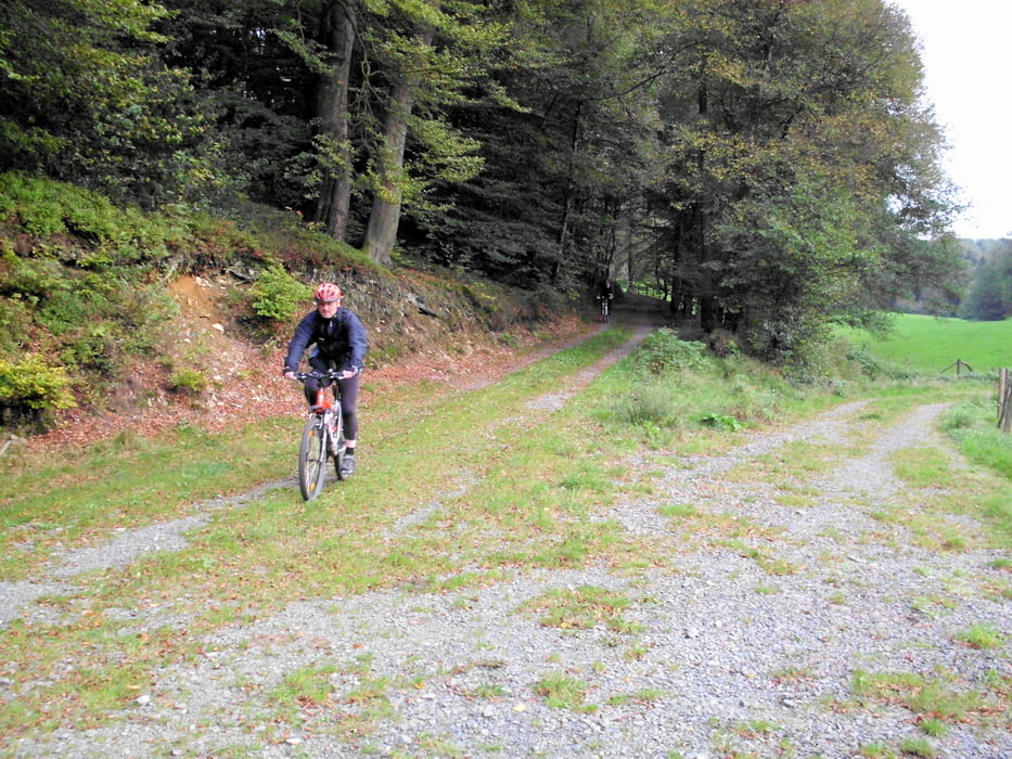
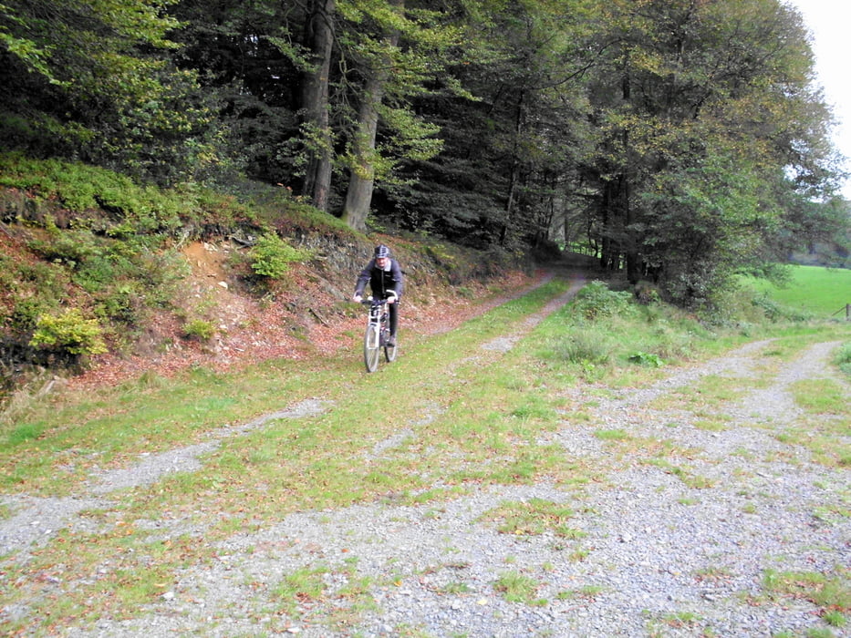
Kleine Feierabendtour mit einigen tollen Ausblicken.
Further information at
http://www.zur-neustadt.de/galéria trás
Mapa trasy a výškový profil
Minimum height 310 m
Maximum height 436 m
More about the tour author
|
|
neuser |
komentáre

über B 229 nach Falkenstraße
GPS trasy
Trackpoints-
GPX / Garmin Map Source (gpx) download
-
TCX / Garmin Training Center® (tcx) download
-
CRS / Garmin Training Center® (crs) download
-
Google Earth (kml) download
-
G7ToWin (g7t) download
-
TTQV (trk) download
-
Overlay (ovl) download
-
Fugawi (txt) download
-
Kompass (DAV) Track (tk) download
-
list trasy (pdf) download
-
Original file of the author (gpx) download
More about the tour author
|
|
neuser |
Add to my favorites
Remove from my favorites
Edit tags
Open track
My score
Rate