Login

Zabudli ste prihlasovacia meno

Cookies have to be accepted!
Your browser's cookie functionality is disabled. Please enable this functionality.

Not a member yet?

Register now
Login

Available for registred users only

Log in to use this feature.

Zabudli ste prihlasovacia meno

Cookies have to be accepted!
Your browser's cookie functionality is disabled. Please enable this functionality.

Not a member yet?

Register now
Filter
Kategórie
Advanced filters
  • Dĺžka (km)
  • výškomer
Uložiť filter Reset filter

TrackRank

QRCode

Technical data

Dĺžka133,7 km výškomer1512 m Way down1508 m Doba05:10 h:m dátum24.09.2011
ohodnotenia Author Kraj pôžitok z túry kondícia technika

štatistika

277 náhľady ohodnotenia 36 Stiahnutia priemer
Rate
  • list trasy
  • príjazd
  • Stiahnutia

Schöne, verkehrsarme Tour durchs Gäu und Neckartal zum Zollernalbkreis.

Einkehr in der Klosterschänke zwischen 14 und 17h möglich.
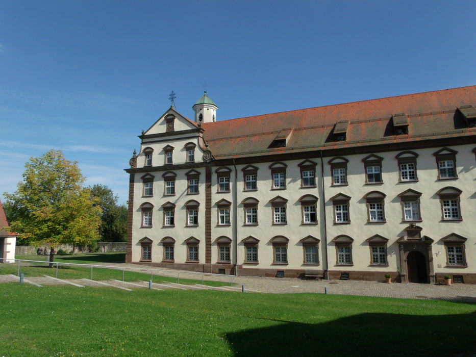
galéria trás

Mapa trasy a výškový profil

  • Open Street Map
  • Google
Minimum height 328 m Maximum height 589 m Detailný pohľad

More about the tour author

Rocky
Member since 2008

Send private message

komentáre

Abfahrt von Gärtringen am Friedhof

GPS trasy

Trackpoints
  • GPX / Garmin Map Source (gpx) download
  • TCX / Garmin Training Center® (tcx) download
  • CRS / Garmin Training Center® (crs) download
  • Google Earth (kml) download
  • G7ToWin (g7t) download
  • TTQV (trk) download
  • Overlay (ovl) download
  • Fugawi (txt) download
  • Kompass (DAV) Track (tk) download
  • list trasy (pdf) download
  • Original file of the author (gpx) download

More about the tour author

Rocky
Member since 2008

Send private message
Share track
Add to my favorites
Remove from my favorites
Edit tags
My score
Rate
trasa: Kloster Kirchberg
Druh: pretekársky bicykel
Dĺžka: 133,7 km
Evaluated on:
Doba:
Day(s)
Hour(s)
Minute(s)
ohodnotenie: Kraj pôžitok z túry kondícia technika