
")

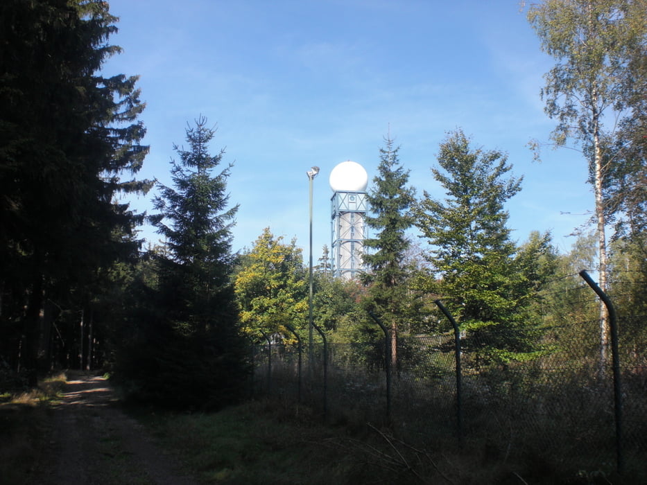
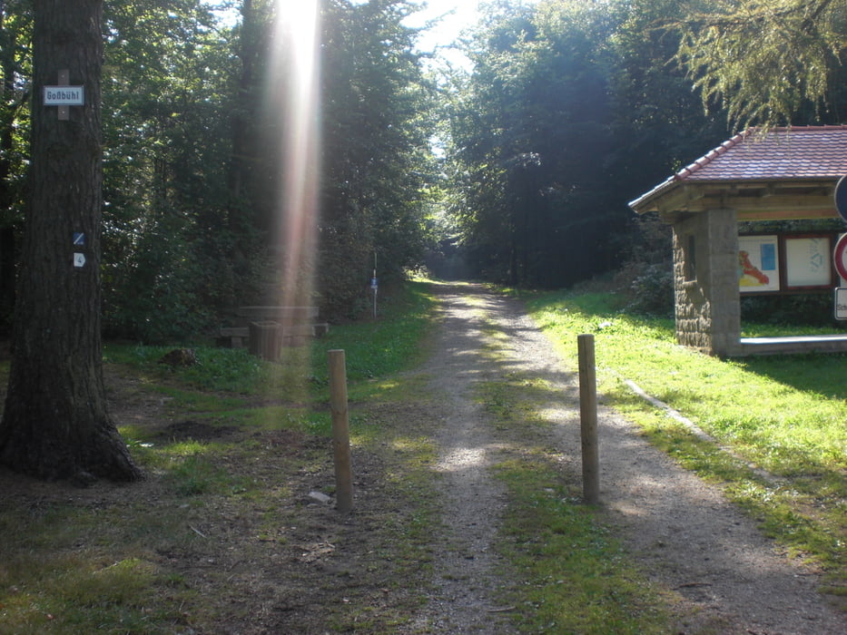
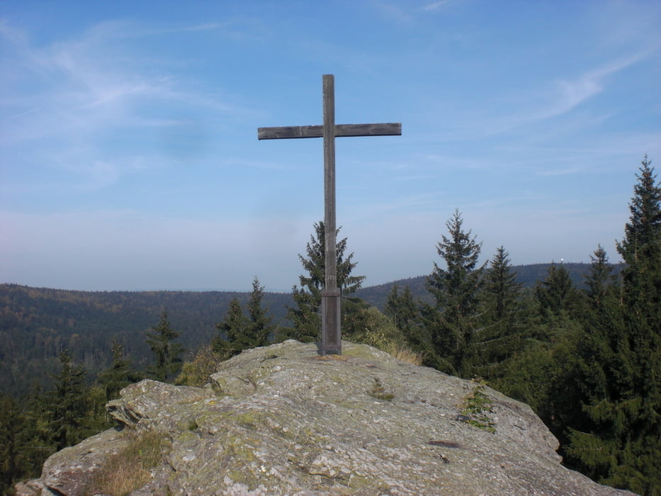
Start ist am Parkplatz der alten Mehrzweckhalle in Oberviechtach. Los gehts am Burgenweg an der Standortschießanlage vorbei, und auf Schotter und einen kuzen Trail Richtung Wildeppenried danach gehts hoch zum Rainstein dort fährt man teilweise auf wurzeligen Waldwegen gefolgt von einer kleinen Abfahrt auf der Schotterpiste. Mit einer kurzen Teerpassage gehts Hoch zum Eisberg vorbei an der Wetterstation und dann mit Speed und einer kleinen Kuppe weiter nach Tännesberg durch den Geologischen Lehrpfad. Ab da kann man immer den gut ausgeschilderten Goldsteig-Wanderweg zur Ruine in Wildstein folgen. Der Goldsteig führt weiter auf kleineren Trails und Feldwegen zurück nach Ovi.
galéria trás
Mapa trasy a výškový profil
Minimum height 529 m
Maximum height 828 m
More about the tour author
|
|
caipi |
komentáre

GPS trasy
Trackpoints-
GPX / Garmin Map Source (gpx) download
-
TCX / Garmin Training Center® (tcx) download
-
CRS / Garmin Training Center® (crs) download
-
Google Earth (kml) download
-
G7ToWin (g7t) download
-
TTQV (trk) download
-
Overlay (ovl) download
-
Fugawi (txt) download
-
Kompass (DAV) Track (tk) download
-
list trasy (pdf) download
-
Original file of the author (gpx) download
More about the tour author
|
|
caipi |
Add to my favorites
Remove from my favorites
Edit tags
Open track
My score
Rate