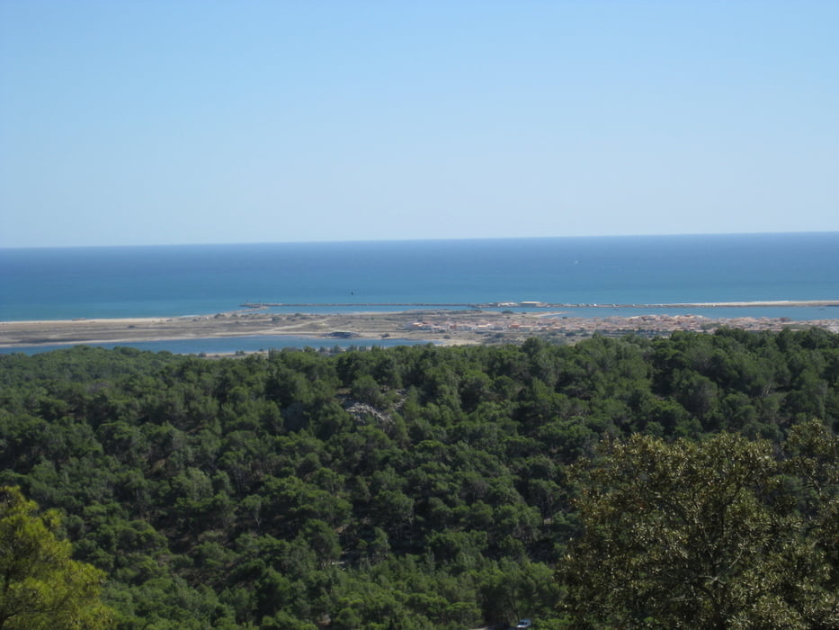
Schöne Tour durch das Naturschutzgebiet La Clape. Größtenteils auf Asphalt/Feldwege. Der Anstieg zur Kapelle hoch geht über eine Schotterpiste.
Eine weitere Möglichkeit ist nicht den Schotterweg hochfahren, sondern ein Stück weiter gerade aus der Strecke folgen und vom Parkplatz aus zu Fuss hochwandern, über den "Friedhof".
Mapa trasy a výškový profil
Minimum height -19 m
Maximum height 131 m
komentáre

GPS trasy
Trackpoints-
GPX / Garmin Map Source (gpx) download
-
TCX / Garmin Training Center® (tcx) download
-
CRS / Garmin Training Center® (crs) download
-
Google Earth (kml) download
-
G7ToWin (g7t) download
-
TTQV (trk) download
-
Overlay (ovl) download
-
Fugawi (txt) download
-
Kompass (DAV) Track (tk) download
-
list trasy (pdf) download
-
Original file of the author (gpx) download
Add to my favorites
Remove from my favorites
Edit tags
Open track
My score
Rate


