


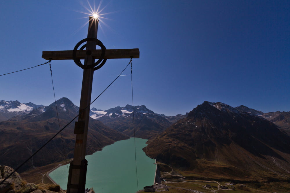
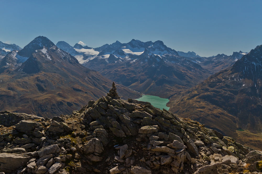
Vom Parkplatz des Silvretta Stausees an der Kapelle vorbei Richtung Norden auf den Bielerkopf. Schon von Anfang an geht es steil bergauf, keine Zeit für gemütliche Wanderungen. Am Bielerkopf befindet sich ein schöner Aussichtspunkt mit einem Gipfelkreuz (ohne Gipfel). Von dem Punkt aus weiter hinauf auf die Bielerspitze. Ein Kreuz sucht man hier vergebens, man wandert über zerklüftete Felsen hinweg. Für den Abstieg haben wir einen kleinen Umweg gewählt, damit es nicht so steil bergab geht. Beim Abstieg Richtung Vallüla halten und dann um den Berg herum ins Tal, so kommt man nicht mehr beim Bielerkopf vorbei und hat eine unterschiedliche Rückroute. Diese war bei uns durch Geröll etwas erschwert zu passieren.
galéria trás

Mapa trasy a výškový profil
Minimum height 2032 m
Maximum height 2546 m
More about the tour author
|
|
Helix78 |
komentáre

Über die Silvretta Hochalpenstraße zum Parkplatz.
GPS trasy
Trackpoints-
GPX / Garmin Map Source (gpx) download
-
TCX / Garmin Training Center® (tcx) download
-
CRS / Garmin Training Center® (crs) download
-
Google Earth (kml) download
-
G7ToWin (g7t) download
-
TTQV (trk) download
-
Overlay (ovl) download
-
Fugawi (txt) download
-
Kompass (DAV) Track (tk) download
-
list trasy (pdf) download
-
Original file of the author (gpx) download
More about the tour author
|
|
Helix78 |
Add to my favorites
Remove from my favorites
Edit tags
Open track
My score
Rate