


Hallo Leute
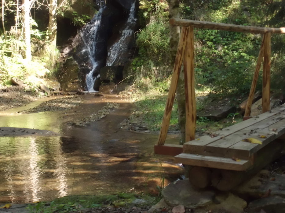
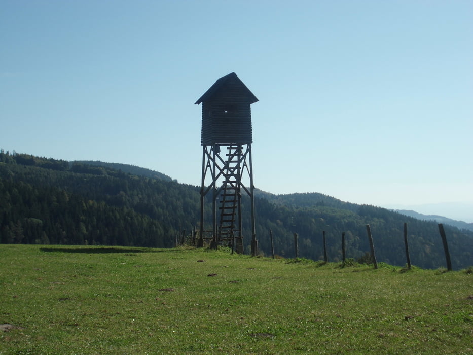
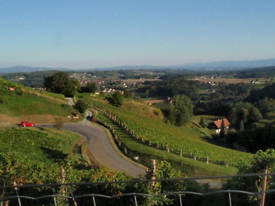
Die Tour führt von Deutschlandsberg Bahnhof weg gegen den Uhrzeigersin, Richtung Wildbach-eine schöne Schotterstraße führt durch den Wald den Bach entlang Richtung Freiland.Oben angekommen fahren wir ein kurzes Stück auf der Hauptstraße dann rechts weiter Richtung Reinischwirt. Beim Reinischwirt geht es direkt durch den Hof bitte Ruhe es kommt leider Fahrverbot. Aber es geht ein teils steiler und schöner Weg weiter. bis hinauf zur Freiländerhütte wo wir den Höhepunkt der Tour erreicht haben. Es gibt eine gute Jause die man sich sicher verdient hat.. weiter gehts dann auf der Hauptstraße hinunter bis nach Freiland und wieder runter, teiweise kommen schöne Trails nicht zu kurz. einen schönen Ausblick hat man dann zum Schluß auf der Burg Deutschlandsberg auf die Stadt..
Ich wünsch euch viel Spaß
galéria trás

Mapa trasy a výškový profil
Minimum height 368 m
Maximum height 1463 m
More about the tour author
|
|
Mountainbikegirl |
komentáre

GPS trasy
Trackpoints-
GPX / Garmin Map Source (gpx) download
-
TCX / Garmin Training Center® (tcx) download
-
CRS / Garmin Training Center® (crs) download
-
Google Earth (kml) download
-
G7ToWin (g7t) download
-
TTQV (trk) download
-
Overlay (ovl) download
-
Fugawi (txt) download
-
Kompass (DAV) Track (tk) download
-
list trasy (pdf) download
-
Original file of the author (gpx) download
More about the tour author
|
|
Mountainbikegirl |
Add to my favorites
Remove from my favorites
Edit tags
Open track
My score
Rate