

Gestartet haben wir in Urexweiler. Von dort geht es auf dem schnellsten Weg nach Marpingen, dann nach Tholey (Feldweg zwischen Marpingen und Tholey).
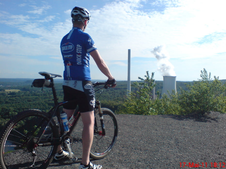
Es folgt der Anstieg zum Schaumbergplateau. Oben angekommen geht es den Rücken des Berges auf einem wunderschönen Trail wieder runter (ca.3km). Abfahrt bis Bergweiler. Von Bergweiler geht es nach Sotzweiler. Dort in den Wald, hinauf zum Finkenrech.
Am Bauernhof folgt der Einstieg in den Biberpfad, der mit einigen anspruchsvollen Trails wartet.
Dem Biberpfad folgt man dann bis Urexweiler.
Viel Spass beim fahren, die Tour lohnt sich
Mapa trasy a výškový profil
Minimum height 265 m
Maximum height 562 m
More about the tour author
|
|
bike82 |
komentáre

GPS trasy
Trackpoints-
GPX / Garmin Map Source (gpx) download
-
TCX / Garmin Training Center® (tcx) download
-
CRS / Garmin Training Center® (crs) download
-
Google Earth (kml) download
-
G7ToWin (g7t) download
-
TTQV (trk) download
-
Overlay (ovl) download
-
Fugawi (txt) download
-
Kompass (DAV) Track (tk) download
-
list trasy (pdf) download
-
Original file of the author (gpx) download
More about the tour author
|
|
bike82 |
Add to my favorites
Remove from my favorites
Edit tags
Open track
My score
Rate