Login

Zabudli ste prihlasovacia meno

Cookies have to be accepted!
Your browser's cookie functionality is disabled. Please enable this functionality.

Not a member yet?

Register now
Login

Available for registred users only

Log in to use this feature.

Zabudli ste prihlasovacia meno

Cookies have to be accepted!
Your browser's cookie functionality is disabled. Please enable this functionality.

Not a member yet?

Register now
Filter
Kategórie
Advanced filters
  • Dĺžka (km)
  • výškomer
Uložiť filter Reset filter

TrackRank

QRCode

Technical data

Dĺžka8,8 km výškomer374 m Way down368 m Doba02:45 h:m dátum11.07.2007
ohodnotenia Author User Kraj pôžitok z túry kondícia technika

štatistika

842 náhľady 1 ohodnotenie 148 Stiahnutia 3.00 priemer
Rate
  • list trasy
  • príjazd
  • Stiahnutia
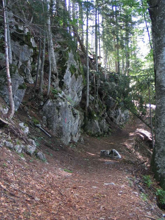
Strecke auf Forst- und Fusswegen. Teils markiert, teils auf unmarkierten Karrenwegen und Steigen. Landschaftlich sehr schön, mit Blicken ins Tote Gebirge und ins Sengsengebirge. Einkehrmöglichkeiten im Ghf. Baumschlagerberg und in der Steyrsbergerreith. Den Abschluss bildet der malerisch gelegene Schafferteich.

galéria trás

Mapa trasy a výškový profil

  • Open Street Map
  • Google
Minimum height 827 m Maximum height 1189 m Detailný pohľad

More about the tour author

Walter 12XL
Member since 2003

Send private message

komentáre

A9 Pyhrnautobahn Abfahrt St. Pankraz oder Windischgarsten, bzw. B138 nach Vorderstoder und dort zum Parkplatz Schafferteich.

GPS trasy

Trackpoints
  • GPX / Garmin Map Source (gpx) download
  • TCX / Garmin Training Center® (tcx) download
  • CRS / Garmin Training Center® (crs) download
  • Google Earth (kml) download
  • G7ToWin (g7t) download
  • TTQV (trk) download
  • Overlay (ovl) download
  • Fugawi (txt) download
  • Kompass (DAV) Track (tk) download
  • list trasy (pdf) download
  • Original file of the author (gpx) download

More about the tour author

Walter 12XL
Member since 2003

Send private message
Share track
Add to my favorites
Remove from my favorites
Edit tags
My score
Rate
trasa: Steyrsbergerreith
Druh: trasa
Dĺžka: 8,8 km
Evaluated on:
Doba:
Day(s)
Hour(s)
Minute(s)
ohodnotenie: Kraj pôžitok z túry kondícia technika