Login

Zabudli ste prihlasovacia meno

Cookies have to be accepted!
Your browser's cookie functionality is disabled. Please enable this functionality.

Not a member yet?

Register now
Login

Available for registred users only

Log in to use this feature.

Zabudli ste prihlasovacia meno

Cookies have to be accepted!
Your browser's cookie functionality is disabled. Please enable this functionality.

Not a member yet?

Register now
Filter
Kategórie
Advanced filters
  • Dĺžka (km)
  • výškomer
Uložiť filter Reset filter

TrackRank

QRCode

Technical data

Dĺžka20,3 km výškomer309 m Way down309 m Doba01:30 h:m dátum05.10.2011
ohodnotenia Author Kraj pôžitok z túry kondícia technika

štatistika

501 náhľady ohodnotenia 72 Stiahnutia priemer
Rate
  • list trasy
  • príjazd
  • Stiahnutia

Biketour rund um Schwenningen.

Vom Flowtrail über Forstautobahn bis zur Teerstrasse ist alles dabei.

Gestartet wird am Kopsbühl in Villingen.

Über die Bertholdshöfe geht es auf die schwenninger Gemarkung.

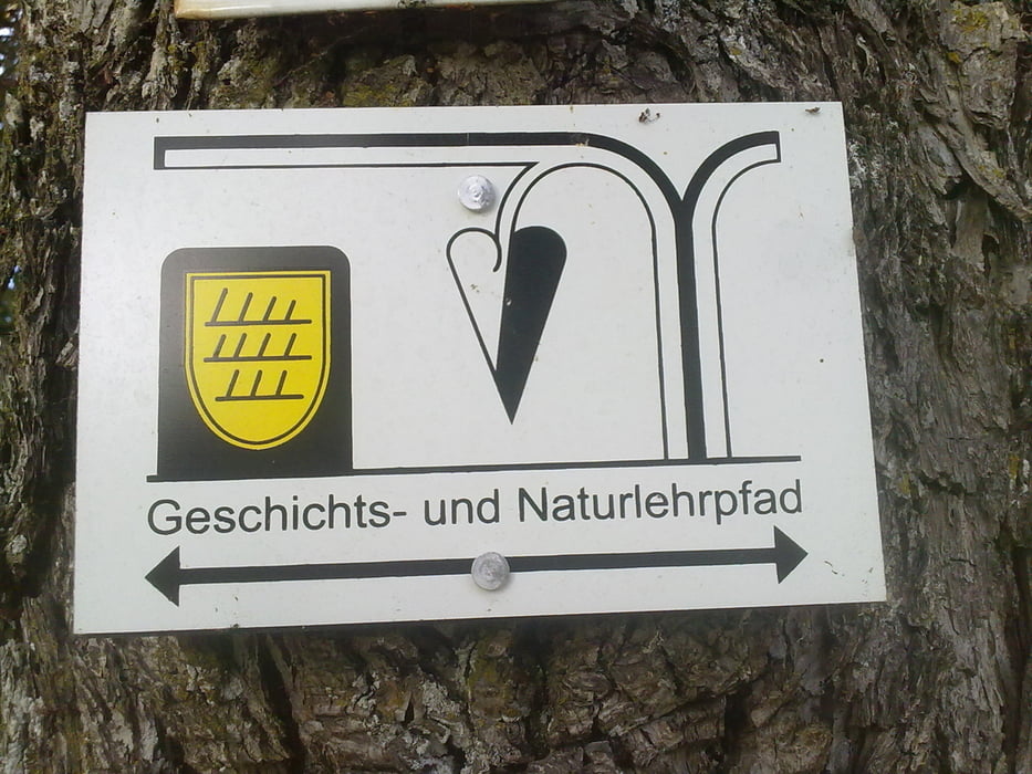
Der Großteil der Tour führt uns über den Schwenninger Geschichts-und Naturlehrpfad.

Hier bekommt man viele Informationen über die Geschichte Schwenningens.


Viel Spass

galéria trás

Mapa trasy a výškový profil

  • Open Street Map
  • Google
Minimum height 658 m Maximum height 779 m Detailný pohľad

More about the tour author

Tom19
Member since 2008

Send private message

komentáre

siehe Daten

GPS trasy

Trackpoints
  • GPX / Garmin Map Source (gpx) download
  • TCX / Garmin Training Center® (tcx) download
  • CRS / Garmin Training Center® (crs) download
  • Google Earth (kml) download
  • G7ToWin (g7t) download
  • TTQV (trk) download
  • Overlay (ovl) download
  • Fugawi (txt) download
  • Kompass (DAV) Track (tk) download
  • list trasy (pdf) download
  • Original file of the author (gpx) download

More about the tour author

Tom19
Member since 2008

Send private message
Share track
Add to my favorites
Remove from my favorites
Edit tags
My score
Rate
trasa: Trailtour rund um VS-Schwenningen
Druh: horský bicykel
Dĺžka: 20,3 km
Evaluated on:
Doba:
Day(s)
Hour(s)
Minute(s)
ohodnotenie: Kraj pôžitok z túry kondícia technika