Login

Zabudli ste prihlasovacia meno

Cookies have to be accepted!
Your browser's cookie functionality is disabled. Please enable this functionality.

Not a member yet?

Register now
Login

Available for registred users only

Log in to use this feature.

Zabudli ste prihlasovacia meno

Cookies have to be accepted!
Your browser's cookie functionality is disabled. Please enable this functionality.

Not a member yet?

Register now
Filter
Kategórie
Advanced filters
  • Dĺžka (km)
  • výškomer
Uložiť filter Reset filter

TrackRank

QRCode

Technical data

Dĺžka22,5 km výškomer84 m Way down131 m Doba00:00 h:m dátum06.10.2011
ohodnotenia Author Kraj pôžitok z túry kondícia technika

štatistika

632 náhľady ohodnotenia 36 Stiahnutia priemer
Rate
  • list trasy
  • príjazd
  • Stiahnutia
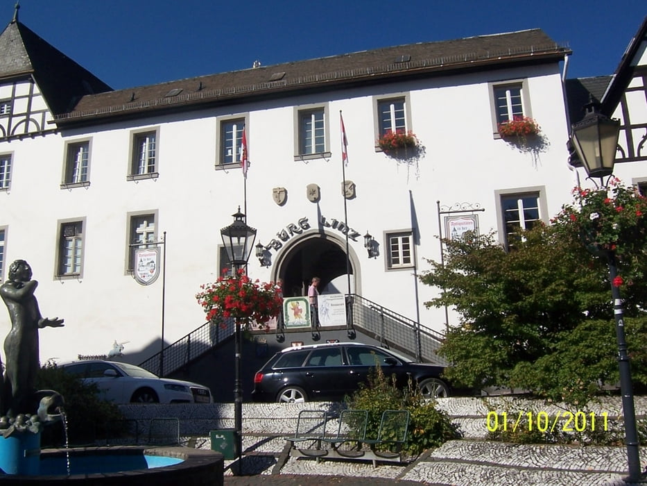
Radweg von Bad Neuenahr nach Rehmagen  mit Spaziergang durch Linz.

galéria trás

Mapa trasy a výškový profil

  • Open Street Map
  • Google
Minimum height 53 m Maximum height 122 m Detailný pohľad

More about the tour author

Erne
Member since 2010

Send private message

komentáre

GPS trasy

Trackpoints
  • GPX / Garmin Map Source (gpx) download
  • TCX / Garmin Training Center® (tcx) download
  • CRS / Garmin Training Center® (crs) download
  • Google Earth (kml) download
  • G7ToWin (g7t) download
  • TTQV (trk) download
  • Overlay (ovl) download
  • Fugawi (txt) download
  • Kompass (DAV) Track (tk) download
  • list trasy (pdf) download
  • Original file of the author (gpx) download

More about the tour author

Erne
Member since 2010

Send private message
Share track
Add to my favorites
Remove from my favorites
Edit tags
My score
Rate
trasa: Ahrradweg von Bad Neuenahr nach Rehmagen
Druh: cykloturistika
Dĺžka: 22,5 km
Evaluated on:
Doba:
Day(s)
Hour(s)
Minute(s)
ohodnotenie: Kraj pôžitok z túry kondícia technika