Login

Zabudli ste prihlasovacia meno

Cookies have to be accepted!
Your browser's cookie functionality is disabled. Please enable this functionality.

Not a member yet?

Register now
Login

Available for registred users only

Log in to use this feature.

Zabudli ste prihlasovacia meno

Cookies have to be accepted!
Your browser's cookie functionality is disabled. Please enable this functionality.

Not a member yet?

Register now
Filter
Kategórie
Advanced filters
  • Dĺžka (km)
  • výškomer
Uložiť filter Reset filter

TrackRank

QRCode

Technical data

Dĺžka58,3 km výškomer797 m Way down797 m Doba04:30 h:m dátum06.10.2011
ohodnotenia Author Kraj pôžitok z túry kondícia technika

štatistika

411 náhľady 1 ohodnotenie 45 Stiahnutia 3.00 priemer
Rate
  • list trasy
  • príjazd
  • Stiahnutia

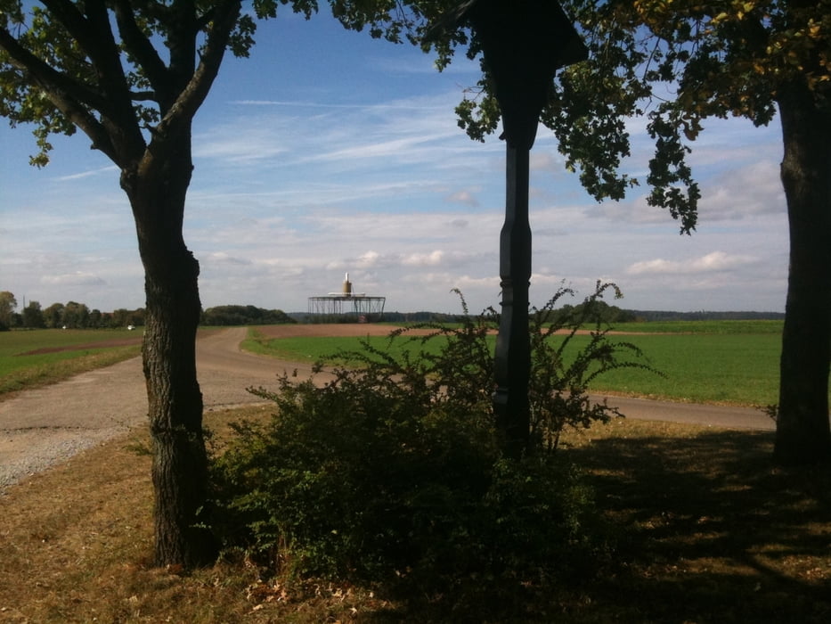
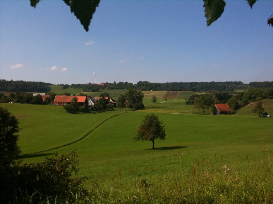
Start und Ziel ist in Ingersheim (Parkplatz Schule). Der Verlauf der Tour ist mit vielen Auf- und Abfahrten gespickt. Deshalb ist eine gute Grundkondition  vorausgesetzt. Eine Rast bietet sich in der Markt Schopfloch an. Die betreffenden Wege sind geschotterte Feld- und Forstwege sowie asphaltierte Wege und Straßen. Dadurch ist die Tour auch bei feuchtem Wetter ohne Probleme befahrbar.

Viel Spaß an der frischen Luft!

galéria trás

Mapa trasy a výškový profil

  • Open Street Map
  • Google
Minimum height 407 m Maximum height 534 m Detailný pohľad

More about the tour author

waldbear
Member since 2008

Send private message

komentáre

GPS trasy

Trackpoints
  • GPX / Garmin Map Source (gpx) download
  • TCX / Garmin Training Center® (tcx) download
  • CRS / Garmin Training Center® (crs) download
  • Google Earth (kml) download
  • G7ToWin (g7t) download
  • TTQV (trk) download
  • Overlay (ovl) download
  • Fugawi (txt) download
  • Kompass (DAV) Track (tk) download
  • list trasy (pdf) download
  • Original file of the author (gpx) download

More about the tour author

waldbear
Member since 2008

Send private message
Share track
Add to my favorites
Remove from my favorites
Edit tags
My score
Rate
trasa: Runde Crailsheim-Schopfloch
Druh: horský bicykel
Dĺžka: 58,3 km
Evaluated on:
Doba:
Day(s)
Hour(s)
Minute(s)
ohodnotenie: Kraj pôžitok z túry kondícia technika