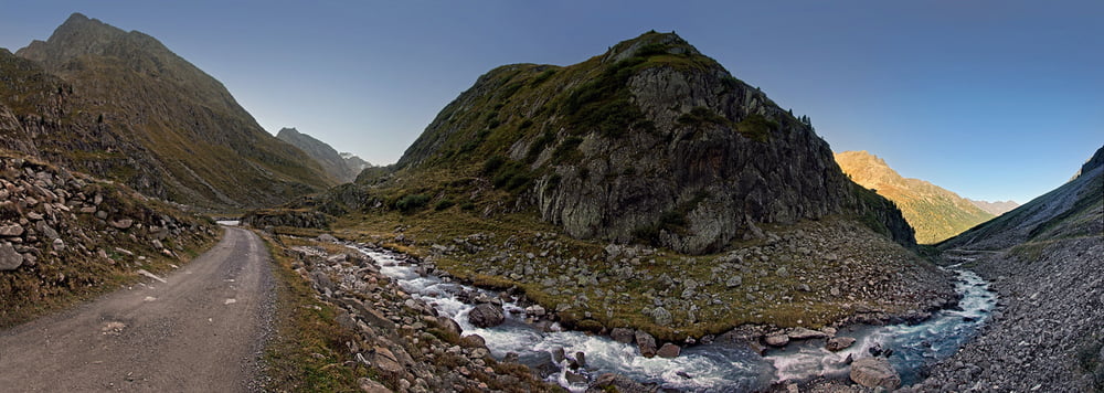
Von Winnebach mit dem Bike einen Km hinter die Ambergerhütte, weiter zu Fuß und die letzten Meter mit Steigeisen über den kleinen Gletscher http://www.alpen-panoramen.de/panorama.php?pid=16681 und leichtes kraxeln auf den Gipfel.
Gerade sehe ich das der logger nicht abgeschaltet war, die Tour beginnt und endet ab Winnebach.
galéria trás
Mapa trasy a výškový profil
Minimum height 684 m
Maximum height 3244 m
komentáre

Am Ende von Winnebach ist ein Parkplatz
GPS trasy
Trackpoints-
GPX / Garmin Map Source (gpx) download
-
TCX / Garmin Training Center® (tcx) download
-
CRS / Garmin Training Center® (crs) download
-
Google Earth (kml) download
-
G7ToWin (g7t) download
-
TTQV (trk) download
-
Overlay (ovl) download
-
Fugawi (txt) download
-
Kompass (DAV) Track (tk) download
-
list trasy (pdf) download
-
Original file of the author (gpx) download
Add to my favorites
Remove from my favorites
Edit tags
Open track
My score
Rate


