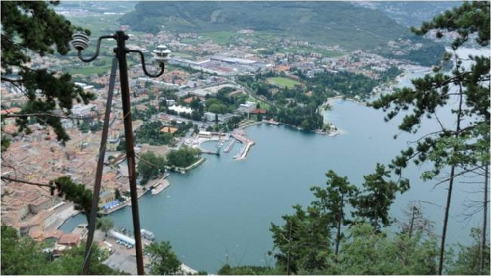
Diese Mountainbiketour mit vielen interessanten Orten und Aussichtspunkten sollte als Tages-tour geplant werden, um ausreichend Zeit für die vielen Eindrücke zu haben.
Start der Tour: Via Lungo Sarca, Arco (Torbole sul Garda).
Vom Hotel aus geht es am See entlang nach Riva und dann auf dem Radweg nach Varone. Hier liegt die erste Sehenswürdigkeit, der Wasserfall von Varone, direkt am Weg. Nach einem längeren Anstieg steht Tenno mit dem Castello auf dem Programm. Weiter geht es auf dem Radweg nach Canale. Beim durchstöbern dieser mittelalterlichen Stadt, gibt es vieles zu entdecken. Kurz darauf heißt es entspannen am Lago di Tenno. Von hier geht es auf der Straße in Richtung Campi (der Tunnel kann links umfahren werden), um die alte Befestigungsanlage auf dem Monte Tombio zu erreichen. Die Auffahrt zum Gipfel ist identisch mit der Abfahrt. Hinter Campi beginnt der Sentiero 402 der nur kurz verlassen wird, um den Aussichtspunkt auf den Wasserleitungen zu erreichen. Zurück auf dem Sentiero 402, folgt die Bastione und mit der Abfahrt nach Riva neigt sich ein abwechslungsreicher Tag dem Ende.
Further information at
http://www.Schliesser-Bike.degaléria trás
Mapa trasy a výškový profil
Minimum height 59 m
Maximum height 845 m
komentáre

Start der Tour: Via Lungo Sarca, Arco (Torbole sul Garda).
GPS trasy
Trackpoints-
GPX / Garmin Map Source (gpx) download
-
TCX / Garmin Training Center® (tcx) download
-
CRS / Garmin Training Center® (crs) download
-
Google Earth (kml) download
-
G7ToWin (g7t) download
-
TTQV (trk) download
-
Overlay (ovl) download
-
Fugawi (txt) download
-
Kompass (DAV) Track (tk) download
-
list trasy (pdf) download
-
Original file of the author (gpx) download
Add to my favorites
Remove from my favorites
Edit tags
Open track
My score
Rate


