
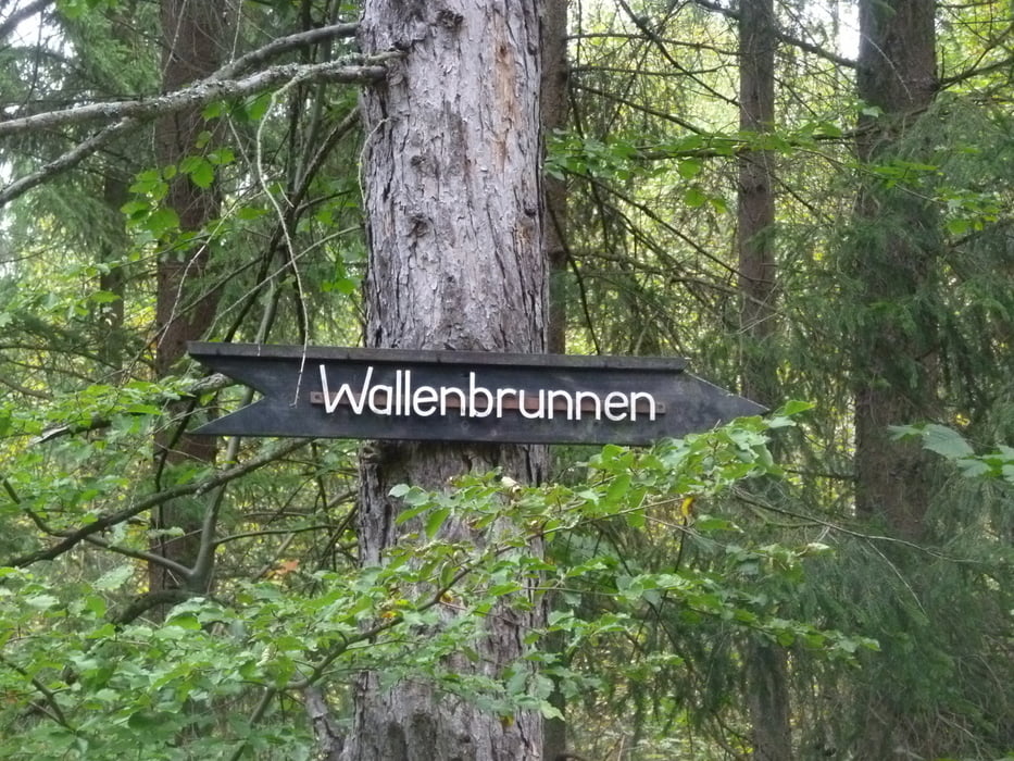

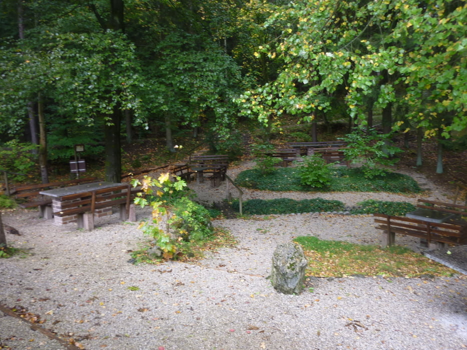
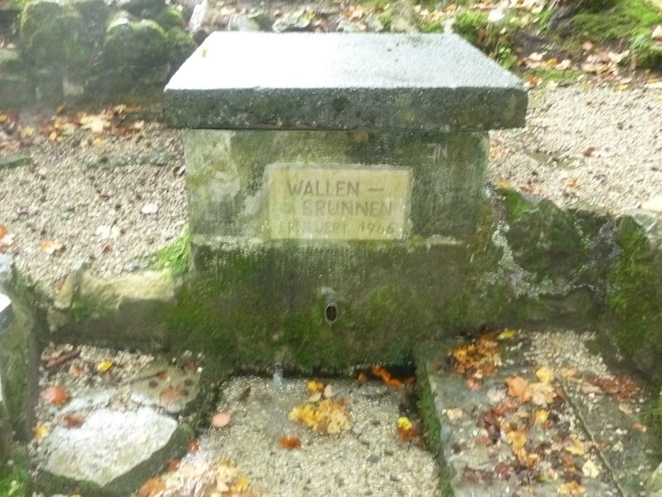
Startpunkt dieser kleinen Tour durch den Bucher Forst ist ein Parkplatz direkt an der A73, der über die Verbindungsstraße zwischen Grub am Forst und Buch am Forst erreichbar ist. Vor uns liegen ca. 4,5 km gut ausgebauter und breiter Waldwege. Daher ist die Wanderung auch ohne Weiteres mit dem Kinderwagen machbar...
Wer mehr erfahren möchte klickt auf unten stehenden Link.
Further information at
http://www.wandern-im-coburger-land.de/wallenbrunnen_rundweg.htmlgaléria trás
Mapa trasy a výškový profil
Minimum height 304 m
Maximum height 385 m
More about the tour author
|
|
screwtapecoburg |
komentáre

Über die Verbindungsstaße zwischen Grub am Forst und Buch am Forst erreichbar.
Nicht über die Autobahn probieren!
GPS trasy
Trackpoints-
GPX / Garmin Map Source (gpx) download
-
TCX / Garmin Training Center® (tcx) download
-
CRS / Garmin Training Center® (crs) download
-
Google Earth (kml) download
-
G7ToWin (g7t) download
-
TTQV (trk) download
-
Overlay (ovl) download
-
Fugawi (txt) download
-
Kompass (DAV) Track (tk) download
-
list trasy (pdf) download
-
Original file of the author (gpx) download
More about the tour author
|
|
screwtapecoburg |
Add to my favorites
Remove from my favorites
Edit tags
Open track
My score
Rate