


Zuerst ungefähr 2,5 km auf einer Forststraße ziemlich flach bis zu einer Wegkreuzung - nun über einen steilen Steig in Richtung Lichtenberg - am Waldrand angekommen, rechts den Weg entlang zu den Häusern von Lichtenberg - zwischen den Häusern und beim Berggasthof Danter vorbei - kurz auf einer Asfaltstraße entlang - an der Kreuzung gerade weiter bis zur Kurve - hier hat man schon eine herrliche Aussicht - weiter links über einen Steig zum Gipfel - dort steht ein gewaltiger, neu errichteter Aussichtsturm, von dem sich eine grandiose Fernsicht bietet. Einkehrmöglichkeit beim Berggasthof Danter.
Abstieg auf der Asphaltstraße nach Thalham.
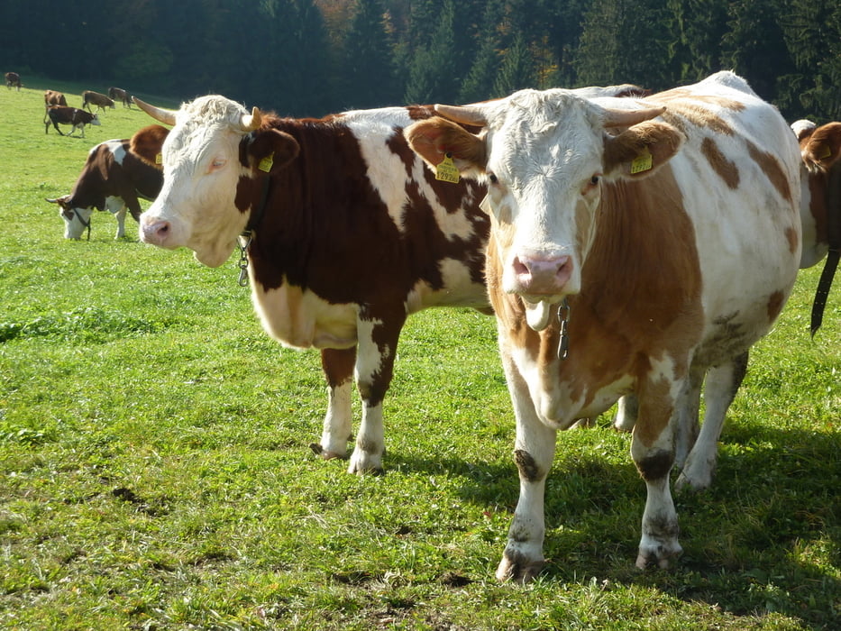
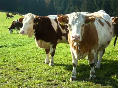
galéria trás

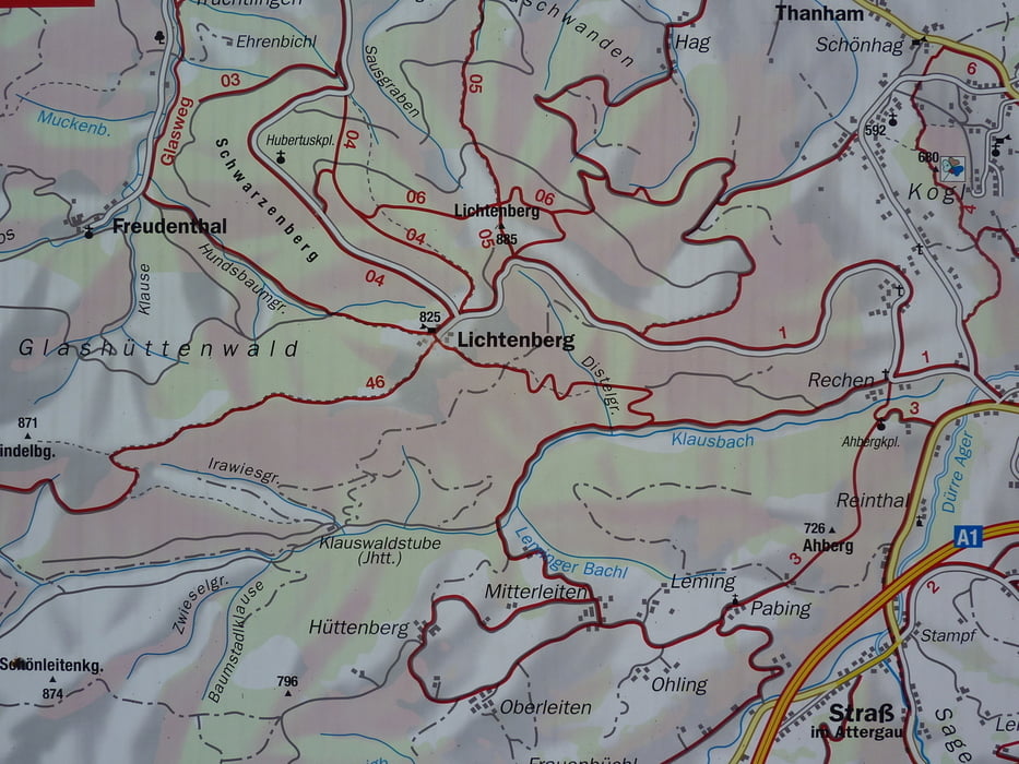

Mapa trasy a výškový profil
Minimum height 557 m
Maximum height 883 m
More about the tour author

|
komentáre

ÖBB bis Vöcklamarkt - dann weiter mit Regionalbahn bis St. Georgen/Attergau - weiter zum Startpunkt in Thalham entweder zu Fuss oder mit dem Mountainbike.
GPS trasy
Trackpoints-
GPX / Garmin Map Source (gpx) download
-
TCX / Garmin Training Center® (tcx) download
-
CRS / Garmin Training Center® (crs) download
-
Google Earth (kml) download
-
G7ToWin (g7t) download
-
TTQV (trk) download
-
Overlay (ovl) download
-
Fugawi (txt) download
-
Kompass (DAV) Track (tk) download
-
list trasy (pdf) download
-
Original file of the author (gpx) download
More about the tour author
|
|
Add to my favorites
Remove from my favorites
Edit tags
Open track
My score
Rate