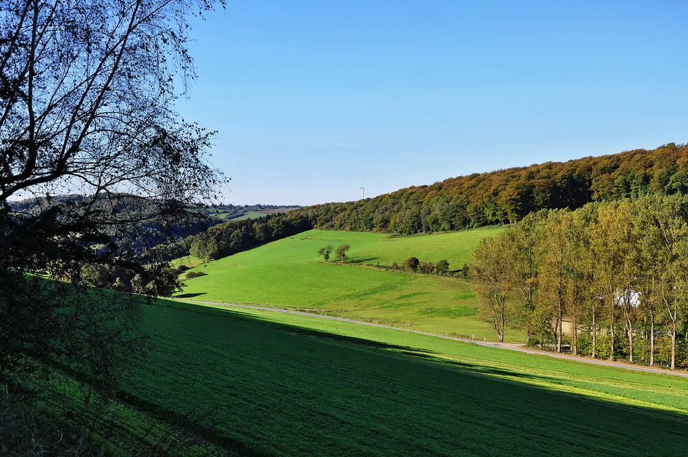
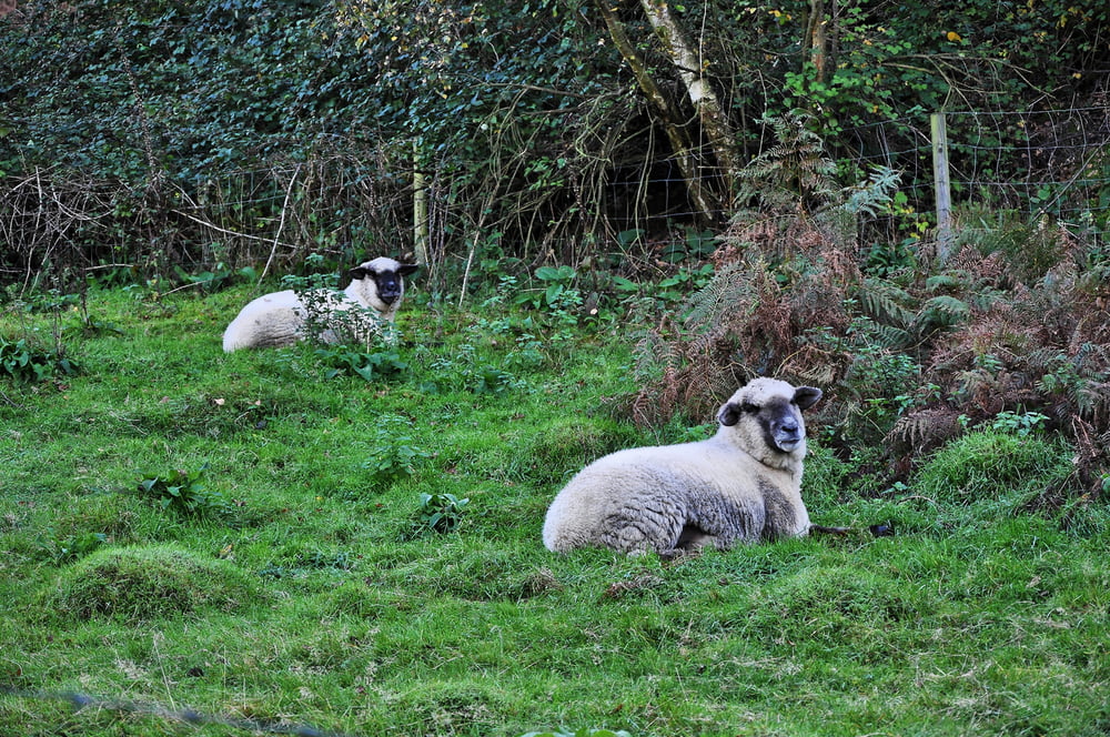
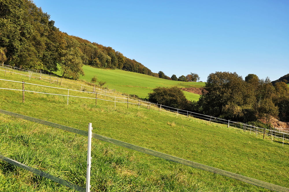
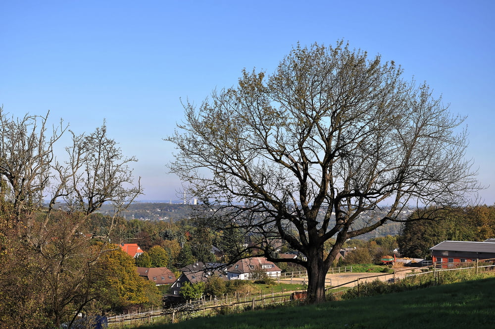
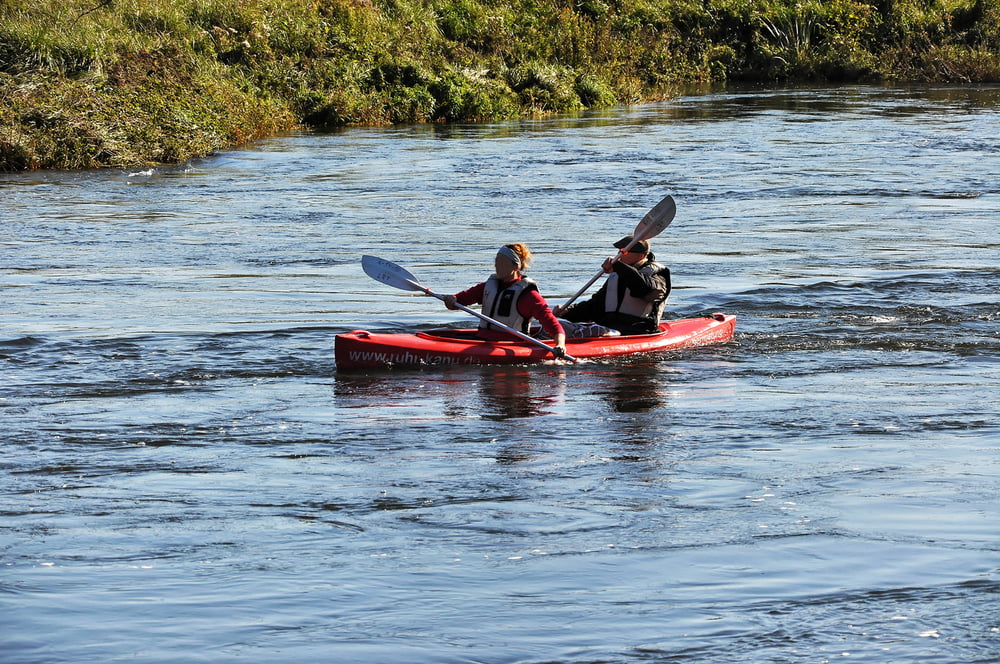
Wanderung von der Ruhr ins Balkhauser Tal nach Nierenhof und zurück
Start : Wanderparkplatz an der Ruhr, Hattingen, Isenbergstraße/Am Isenberg
In südwestlicher Richtung am linken Hang des Balkhauser Tals bis Nierenhof. Dort rechts halten. Von der Kohlenstraße aus an der Kirche wieder in den Wald. Auf dem Bergrücken weiter in nordöstlicher Richtung entlang am Wasserturm bis zur Ruhr. Am Ufer der Ruhr in östlicher Richtung wieder zurück zum Ausgangspunkt.
Further information at
http://www.panoramio.com/user/1739782/tags/Hattingengaléria trás
Mapa trasy a výškový profil
Minimum height 48 m
Maximum height 198 m
komentáre

GPS trasy
Trackpoints-
GPX / Garmin Map Source (gpx) download
-
TCX / Garmin Training Center® (tcx) download
-
CRS / Garmin Training Center® (crs) download
-
Google Earth (kml) download
-
G7ToWin (g7t) download
-
TTQV (trk) download
-
Overlay (ovl) download
-
Fugawi (txt) download
-
Kompass (DAV) Track (tk) download
-
list trasy (pdf) download
-
Original file of the author (gpx) download
Add to my favorites
Remove from my favorites
Edit tags
Open track
My score
Rate

