


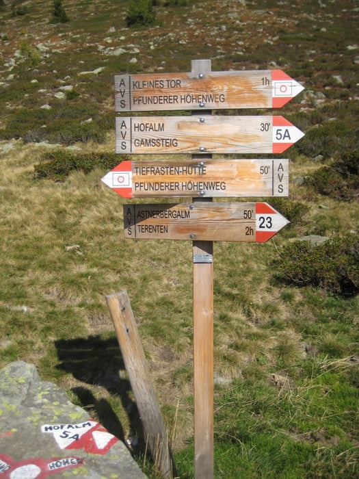
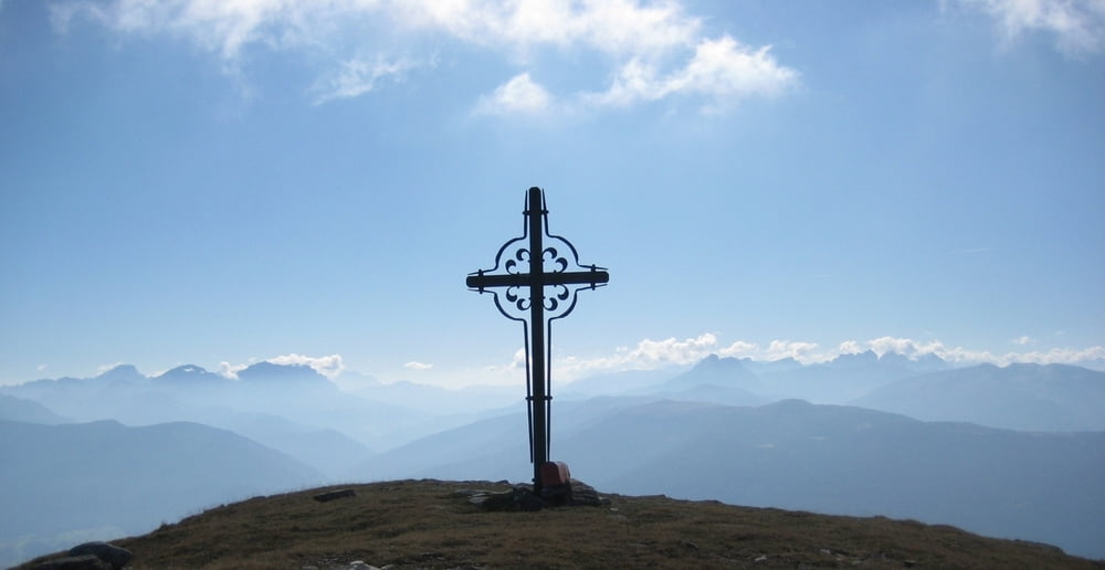
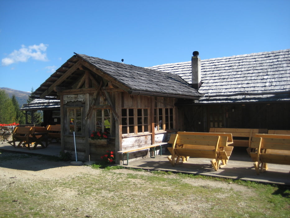
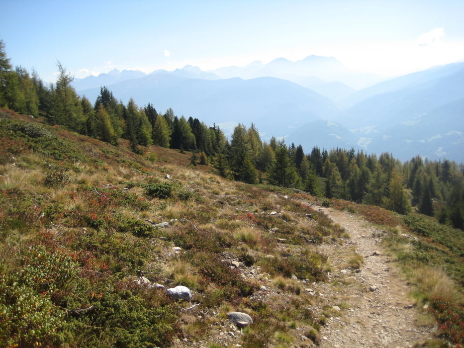
Start ist am Parkplatz im Winnebachtal, von hier immer dem Weg Richtung Astner Bergalm folgen. Vorbei an der Alm weiter bergauf auf einer Almstraße bis zum Neubau eines Wirtschaftsgebäudes ab hier auf Steig weiter bis zu einer kleinen Hütte . Hinter der Hütte rechts in den Weg 5a weiter bergauf bis zur Hofalm. Ab hier weiter auf dem 29 Richtung "kleines Tor" bergauf.( Wer sich 400 Hm sparen will kann hier weiter auf dem 5a gehen, beide Touren treffen später wieder aufeinander.) Knapp unterhalb "Kleines Tor" rechts ab in den Weg 5 hoch zur Pichelbergscharte und dann sieht man auch schon das Gipfelkreuz vom Amjoch, herrliches 360Grad Panorama. Ab hier immer bergab bis zur Oberen Pertinger Alm. Den Weg 5 links in einen Serpentinenweg weiter folgen bis auf eine Fahrstraße, hier treffen wir auch wieder auf den Weg 5a. Weiter bergab zur Pertinger Alm, Einkehr kann ich empfehlen.Von hier weiter bergab vorbei an Teufelstein bis zu einem rechtsabzweig weg 5b Richtung Parkplatz Winnebachtal, dem folgen bis zum Ausgangspunkt. Jausenstation Nunewieser der in vielen Büchern genannt wird und nur kurz unterhalb des Weges liegt hat momentan bis auf weiteres geschlossen.( Stand Okt.11)
galéria trás
Mapa trasy a výškový profil
Minimum height 1403 m
Maximum height 2389 m
More about the tour author
|
|
corsair |
komentáre

GPS trasy
Trackpoints-
GPX / Garmin Map Source (gpx) download
-
TCX / Garmin Training Center® (tcx) download
-
CRS / Garmin Training Center® (crs) download
-
Google Earth (kml) download
-
G7ToWin (g7t) download
-
TTQV (trk) download
-
Overlay (ovl) download
-
Fugawi (txt) download
-
Kompass (DAV) Track (tk) download
-
list trasy (pdf) download
-
Original file of the author (gpx) download
More about the tour author
|
|
corsair |
Add to my favorites
Remove from my favorites
Edit tags
Open track
My score
Rate