28.10.2011
Tour um Hilden
Vom Eller Bahnhof aus eine Strecke, an der am Anfang jedesmal die Eisen- oder Autobahn im Weg war.
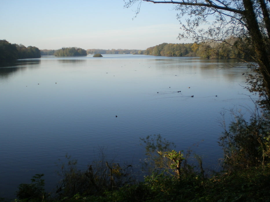
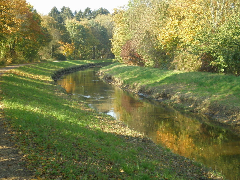
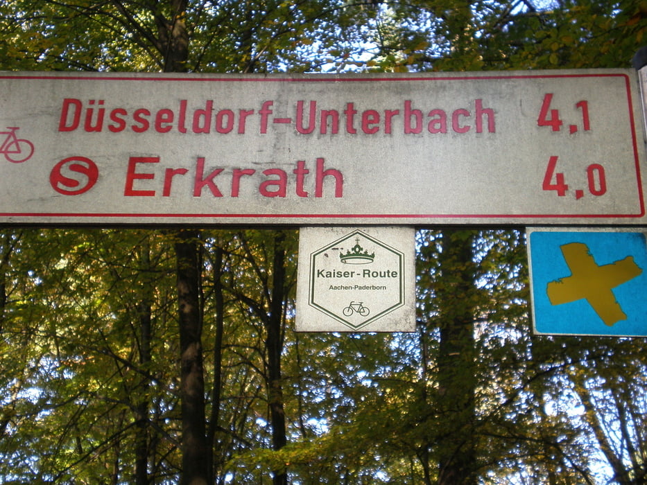
Ansonsten schöne Tour durch Eller und Garather Forst, Stadtwald.
Am 4.11.11 verbessert. Allerdings muss man häufig stark befahrene Straßen überqueren. Für Kinder deshalb nicht besonders geeignet.
galéria trás
Mapa trasy a výškový profil
Minimum height 31 m
Maximum height 71 m
komentáre

GPS trasy
Trackpoints-
GPX / Garmin Map Source (gpx) download
-
TCX / Garmin Training Center® (tcx) download
-
CRS / Garmin Training Center® (crs) download
-
Google Earth (kml) download
-
G7ToWin (g7t) download
-
TTQV (trk) download
-
Overlay (ovl) download
-
Fugawi (txt) download
-
Kompass (DAV) Track (tk) download
-
list trasy (pdf) download
-
Original file of the author (gpx) download
Add to my favorites
Remove from my favorites
Edit tags
Open track
My score
Rate


