
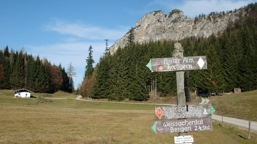

Start am Schwimmbad Ruhpolding, auf asphaltierter Straße nach Urschlau. Weiter taleinwärts bis zu einer Wegkreuzung. Auf einer Forststraße nach rechts u. ansteigend bis zur Eschlmoosalm. Nun umkehren und über eine leichte Steigung dann Abfahrt zur Röthlmoosalm. Von der Wegkreuzung nach Norden vorbei an Klause und dann Abfahrt nach Urschlau. Entlang der Asphaltsraße nach Ruhpolding zurück.
Further information at
http://www.ruhpolding.de/Mapa trasy a výškový profil
Minimum height 658 m
Maximum height 1099 m
More about the tour author

|
andisport |
komentáre

Von der Autobahn München - Salzburg, Abfahrt Siegsdorf nach Ruhpolding zum Schwimmbad.
GPS trasy
Trackpoints-
GPX / Garmin Map Source (gpx) download
-
TCX / Garmin Training Center® (tcx) download
-
CRS / Garmin Training Center® (crs) download
-
Google Earth (kml) download
-
G7ToWin (g7t) download
-
TTQV (trk) download
-
Overlay (ovl) download
-
Fugawi (txt) download
-
Kompass (DAV) Track (tk) download
-
list trasy (pdf) download
-
Original file of the author (gpx) download
More about the tour author
|
|
andisport |
Add to my favorites
Remove from my favorites
Edit tags
Open track
My score
Rate