Login

Zabudli ste prihlasovacia meno

Cookies have to be accepted!
Your browser's cookie functionality is disabled. Please enable this functionality.

Not a member yet?

Register now
Login

Available for registred users only

Log in to use this feature.

Zabudli ste prihlasovacia meno

Cookies have to be accepted!
Your browser's cookie functionality is disabled. Please enable this functionality.

Not a member yet?

Register now
Filter
Kategórie
Advanced filters
  • Dĺžka (km)
  • výškomer
Uložiť filter Reset filter

TrackRank

QRCode

Technical data

Dĺžka19,4 km výškomer939 m Way down994 m Doba05:00 h:m dátum07.11.2011
ohodnotenia Author Kraj pôžitok z túry kondícia technika

štatistika

386 náhľady ohodnotenia 48 Stiahnutia priemer
Rate
  • list trasy
  • príjazd
  • Stiahnutia

Vom Bahnhof Lengries nach Wegscheid. Von dort über die ausgeschilderten Wege bis zum Brauneck Gipfelhaus. Dort auf dem Weg Nr.2 in Richtung Benediktenwand. An der Sesselliftstation geht es kruz darauf rechts zum Längental / Lengries Weg Nr.2. Von hier aus ist der Weg ausgeschildert nach Lengries.

Teilweise geht es auf Forststraßen, Wege alle unschwer.
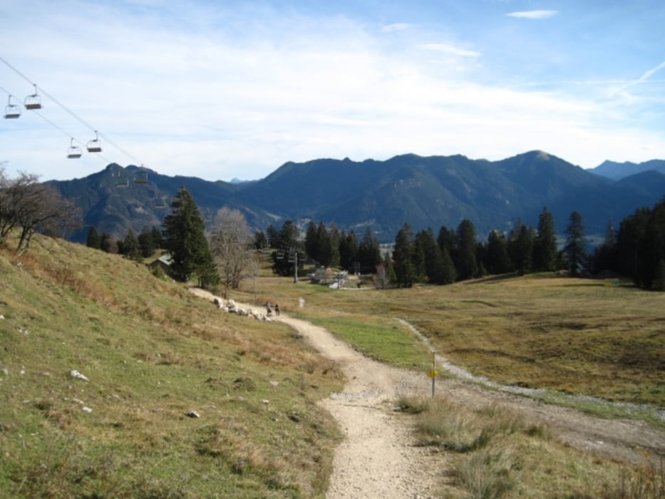
galéria trás

Mapa trasy a výškový profil

  • Open Street Map
  • Google
Minimum height 676 m Maximum height 1550 m Detailný pohľad

More about the tour author

tazzo
Member since 2009

Send private message

komentáre

Mit der BOB (Bahn) nach Lengries Bahnhof oder mit dem Auto zur Talstation der Brauneck Bergbahn.

GPS trasy

Trackpoints
  • GPX / Garmin Map Source (gpx) download
  • TCX / Garmin Training Center® (tcx) download
  • CRS / Garmin Training Center® (crs) download
  • Google Earth (kml) download
  • G7ToWin (g7t) download
  • TTQV (trk) download
  • Overlay (ovl) download
  • Fugawi (txt) download
  • Kompass (DAV) Track (tk) download
  • list trasy (pdf) download
  • Original file of the author (gpx) download

More about the tour author

tazzo
Member since 2009

Send private message
Share track
Add to my favorites
Remove from my favorites
Edit tags
My score
Rate
trasa: Brauneck von Süd nach Nord
Druh: horská trasa
Dĺžka: 19,4 km
Evaluated on:
Doba:
Day(s)
Hour(s)
Minute(s)
ohodnotenie: Kraj pôžitok z túry kondícia technika