

Diese Tour basiert auf vier Radwege aus dem Bayernnetz für Radler:
- Isarradweg(München - Ismaning)
- Sempt-Isen-Radweg (Ismaning - Eicherloh)
- Sempt-Mangfall-Radweg (Wörth - Grafing)
- Panoramaweg Isar-Inn (Grafing - München)
In der Theorie sind die Wege beschildert (außer zwischen Eicherloh und Wörth, da ich den Weg, den normaleweise über Erding führt, von etwa 10 km gekürzt habe). Da ein Paar Schilder fehlen ist es aber empfohlen, sich von einem GPS Gerät navigieren zu lassen.
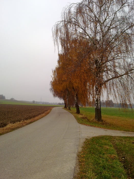
Bis Ebersberg ist die Strecke fast flach. Vor Ebersberg führt der Weg durch den Wald. Danach steigt es etwas, die Landschaft ist aber meinem Geschmack nach schöner.
Mapa trasy a výškový profil
Minimum height 479 m
Maximum height 593 m
More about the tour author
|
|
francbalt |
komentáre

GPS trasy
Trackpoints-
GPX / Garmin Map Source (gpx) download
-
TCX / Garmin Training Center® (tcx) download
-
CRS / Garmin Training Center® (crs) download
-
Google Earth (kml) download
-
G7ToWin (g7t) download
-
TTQV (trk) download
-
Overlay (ovl) download
-
Fugawi (txt) download
-
Kompass (DAV) Track (tk) download
-
list trasy (pdf) download
-
Original file of the author (gpx) download
More about the tour author
|
|
francbalt |
Add to my favorites
Remove from my favorites
Edit tags
Open track
My score
Rate