

16.11.2011
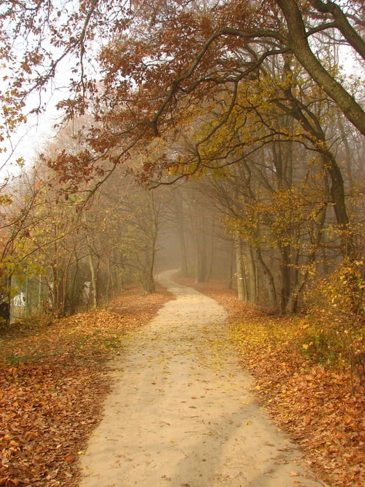
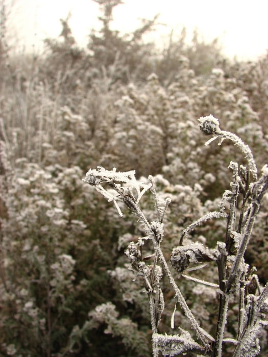
Vyvetrať hlavu, pozrieť inverziu a zistiť, ako sa zajtra obliecť na turistiku.
galéria trás
Mapa trasy a výškový profil
Minimum height 95 m
Maximum height 435 m
More about the tour author
|
|
tmax |
komentáre

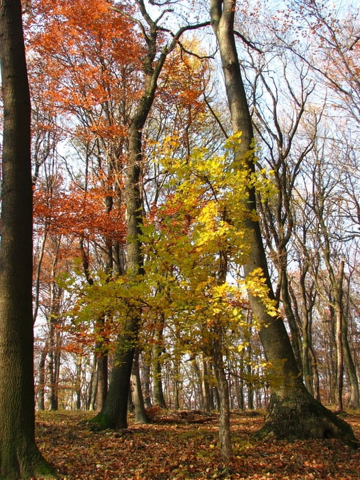
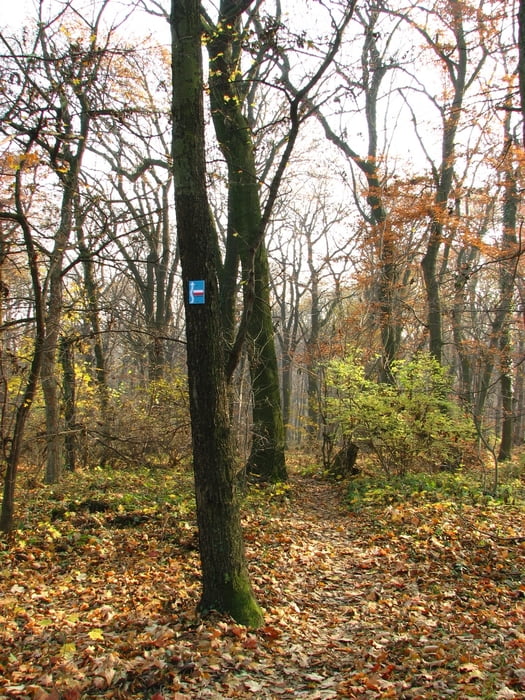
BA-Dlhé Diely
GPS trasy
Trackpoints-
GPX / Garmin Map Source (gpx) download
-
TCX / Garmin Training Center® (tcx) download
-
CRS / Garmin Training Center® (crs) download
-
Google Earth (kml) download
-
G7ToWin (g7t) download
-
TTQV (trk) download
-
Overlay (ovl) download
-
Fugawi (txt) download
-
Kompass (DAV) Track (tk) download
-
list trasy (pdf) download
-
Original file of the author (gpx) download
More about the tour author
|
|
tmax |
Add to my favorites
Remove from my favorites
Edit tags
Open track
My score
Rate