


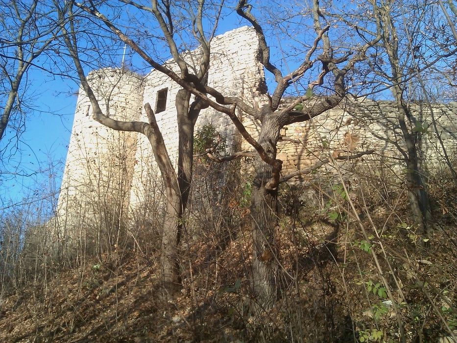
Sehr schöne Abendrunde über das Hufeisen zwischen Kunitzburg und Jenzig, die in beide Richtungen gefahren werden kann. Der Anstieg über Kunitz ist etwas durchwachsener, geht stellenweise in Richtung Singletrail. Wenn man über den Jenzig auf das Hufeisen fährt, hat man den Vorteil eines gepflegteren Weges bzw. kann sogar die Fahrstraße auf den Jenzig nutzen, hierzu am Parkplatz rechts unterhalb des Wanderweges weiterfahren.
Die Abfahrt von der Hochfläche macht in beiden Richtungen ähnlich viel Spaß.
galéria trás

Mapa trasy a výškový profil
Minimum height 65 m
Maximum height 339 m
More about the tour author
|
|
aussie1248 |
komentáre

Start und Ziel liegen im Zentrum Jenas, wo Parkplätze selten und teuer sind. Ausgangspunkt ist der Kirchplatz vor der Stadtkirche St. Michael.
gebührenpflichtige Parkmöglichkeit auf dem Eichplatz oder in den Parkhäusern, Anwohnerparkplätze sind wichtige Einnahmequelle für das Ordnungsamt, also Vorsicht!
Eingabe für's Navi:
07743 Jena, Eichplatz 1
GPS trasy
Trackpoints-
GPX / Garmin Map Source (gpx) download
-
TCX / Garmin Training Center® (tcx) download
-
CRS / Garmin Training Center® (crs) download
-
Google Earth (kml) download
-
G7ToWin (g7t) download
-
TTQV (trk) download
-
Overlay (ovl) download
-
Fugawi (txt) download
-
Kompass (DAV) Track (tk) download
-
list trasy (pdf) download
-
Original file of the author (gpx) download
More about the tour author
|
|
aussie1248 |
Add to my favorites
Remove from my favorites
Edit tags
Open track
My score
Rate