Login

Zabudli ste prihlasovacia meno

Cookies have to be accepted!
Your browser's cookie functionality is disabled. Please enable this functionality.

Not a member yet?

Register now
Login

Available for registred users only

Log in to use this feature.

Zabudli ste prihlasovacia meno

Cookies have to be accepted!
Your browser's cookie functionality is disabled. Please enable this functionality.

Not a member yet?

Register now
Filter
Kategórie
Advanced filters
  • Dĺžka (km)
  • výškomer
Uložiť filter Reset filter

TrackRank

QRCode

Technical data

Dĺžka5,6 km výškomer721 m Way down566 m Doba01:57 h:m dátum14.12.2011
ohodnotenia Author Kraj pôžitok z túry kondícia technika

štatistika

137 náhľady ohodnotenia 18 Stiahnutia priemer
Rate
  • list trasy
  • príjazd
  • Stiahnutia

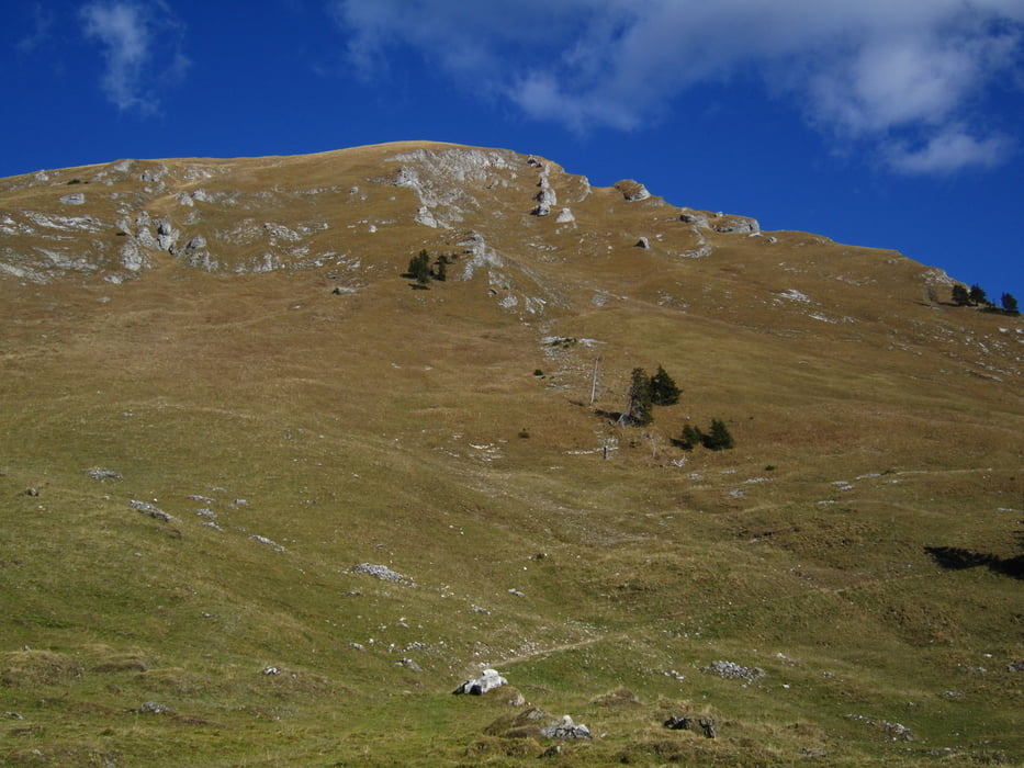
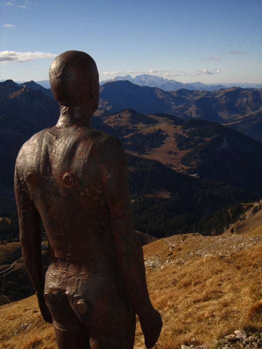
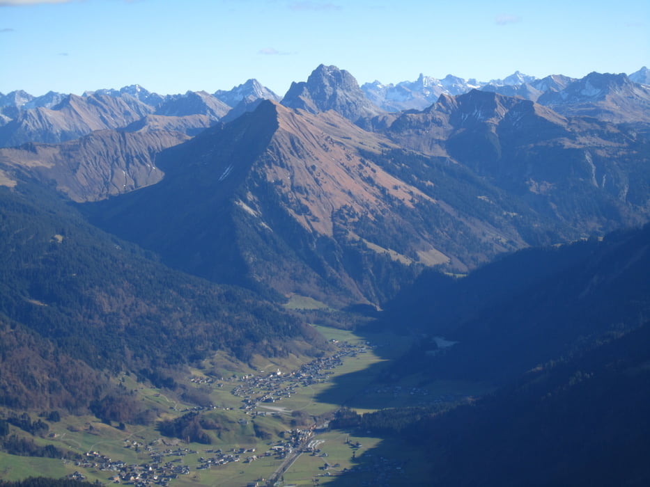
Nice hike to the top. The trail is well marked. There is not a lot of shade on the way so be prepaired on a hot sunny day. As you get close to the top there is an Iron Man.

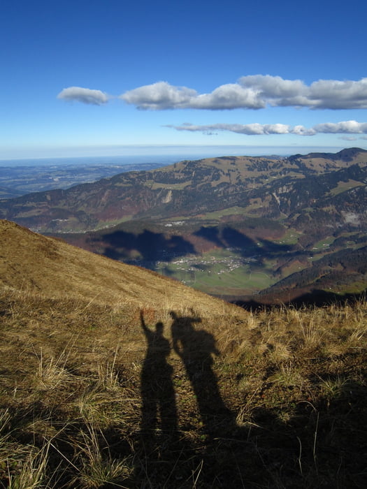
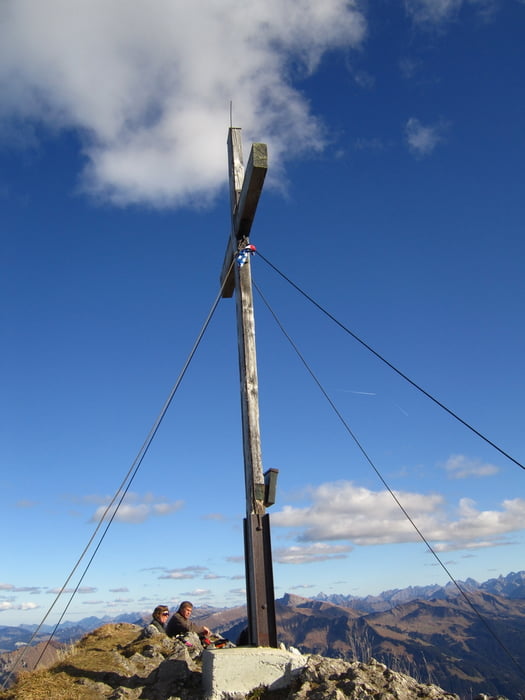
The view from the top is great as long as it is a clear day.

galéria trás

Mapa trasy a výškový profil

  • Open Street Map
  • Google
Minimum height 1299 m Maximum height 2048 m Detailný pohľad

More about the tour author

Steinkopf
Member since 2011

Send private message

komentáre

In the summer months you can drive to the location where the GPS track starts.

GPS trasy

Trackpoints
  • GPX / Garmin Map Source (gpx) download
  • TCX / Garmin Training Center® (tcx) download
  • CRS / Garmin Training Center® (crs) download
  • Google Earth (kml) download
  • G7ToWin (g7t) download
  • TTQV (trk) download
  • Overlay (ovl) download
  • Fugawi (txt) download
  • Kompass (DAV) Track (tk) download
  • list trasy (pdf) download
  • Original file of the author (gpx) download

More about the tour author

Steinkopf
Member since 2011

Send private message
Share track
Add to my favorites
Remove from my favorites
Edit tags
My score
Rate
trasa: Holenke
Druh: trasa
Dĺžka: 5,6 km
Evaluated on:
Doba:
Day(s)
Hour(s)
Minute(s)
ohodnotenie: Kraj pôžitok z túry kondícia technika