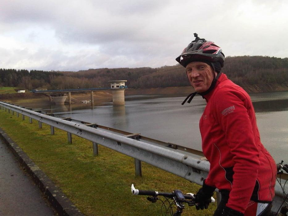
Mountainbike Route über Leichlingen>Altenberg>Dhünntalsperre_Staumauer>Voiswinkel>Schlebusch>Bayer_Stadion>Rheindorf>Reusrath>Ruppelrath>Sol.Auf der Höhe. Die Route wurde so gewählt mit Waldwegen Feldwegen und kleinen Nebenstrassen und möglichst wenig Matsch. Anfangs Bergig ab Schlebusch flach bis Solingen Auf der Höhe.
Keine Standartwege die jeder fährt.
Mapa trasy a výškový profil
Minimum height 97 m
Maximum height 295 m
komentáre

GPS trasy
Trackpoints-
GPX / Garmin Map Source (gpx) download
-
TCX / Garmin Training Center® (tcx) download
-
CRS / Garmin Training Center® (crs) download
-
Google Earth (kml) download
-
G7ToWin (g7t) download
-
TTQV (trk) download
-
Overlay (ovl) download
-
Fugawi (txt) download
-
Kompass (DAV) Track (tk) download
-
list trasy (pdf) download
-
Original file of the author (tcx) download
Add to my favorites
Remove from my favorites
Edit tags
Open track
My score
Rate

