


Hallo Biker,
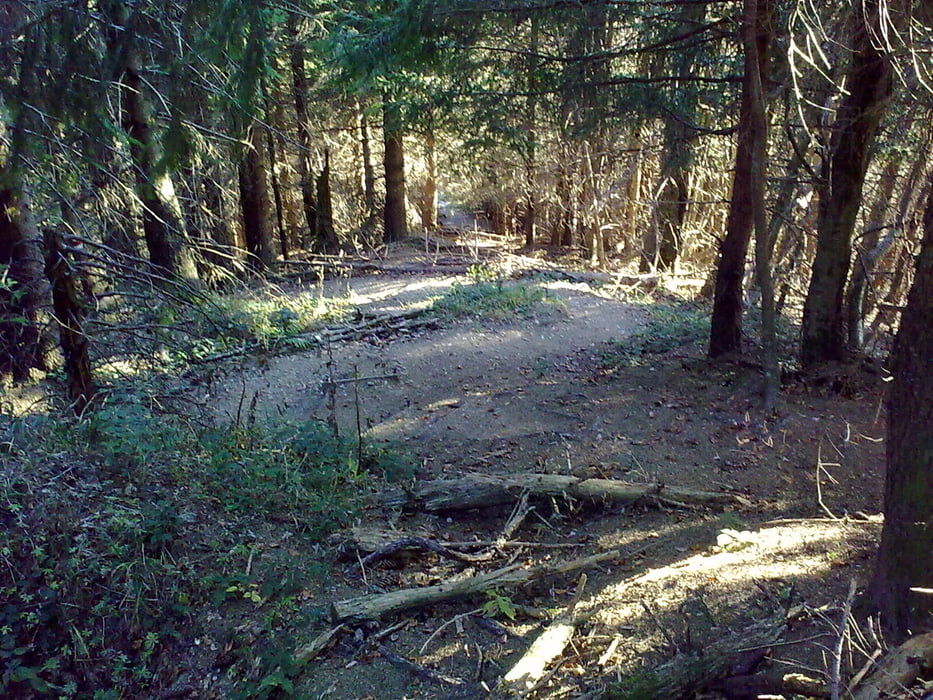
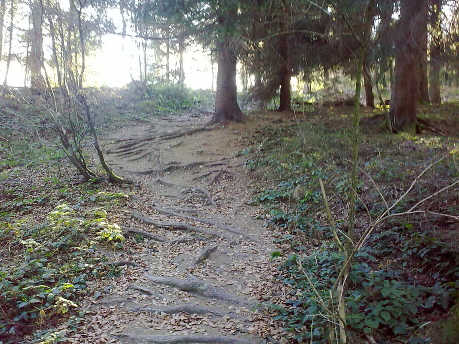
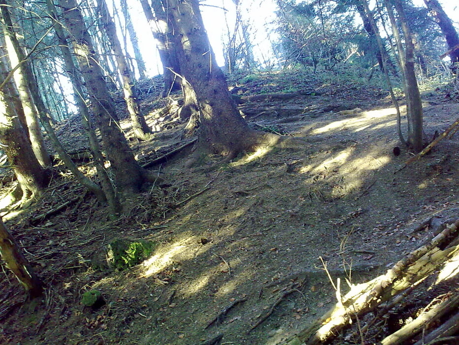
hier noch eine ganz kleine Runde beim Eschacher Weiher, die sich auch herrlich mit einer größeren Runde in dem Gebiet kombinieren läßt. Mit dem Bike besser gegen den Uhrzeiger fahren. Vom Hohen Kapf runter zum Eschacher Weiher sind ein paar schöne Trails drin. Man kann die Runde auch wandern oder auch herrlich Schneeschuhwandern. Mit Schneeschuhen würde ich im Uhrzeigersinn gehen, damit die steilsten Stücke bergauf gehen.
galéria trás

Mapa trasy a výškový profil
Minimum height 938 m
Maximum height 1047 m
More about the tour author
|
|
lesopia |
komentáre

Von Kempten über Buchenberg hoch nach Eschach. Parkplatz oberhalb des Eschacher Weihers.
GPS trasy
Trackpoints-
GPX / Garmin Map Source (gpx) download
-
TCX / Garmin Training Center® (tcx) download
-
CRS / Garmin Training Center® (crs) download
-
Google Earth (kml) download
-
G7ToWin (g7t) download
-
TTQV (trk) download
-
Overlay (ovl) download
-
Fugawi (txt) download
-
Kompass (DAV) Track (tk) download
-
list trasy (pdf) download
-
Original file of the author (gpx) download
More about the tour author
|
|
lesopia |
Add to my favorites
Remove from my favorites
Edit tags
Open track
My score
Rate