

Gestartet haben wir in Urexweiler.
Über die Rheinstrasse und Oberthal geht es nach Güdesweiler. Von dort führt der Weg in Richtung Bostalsee. Der Weg führt fast ausschließlich über Feld und Waldwege.
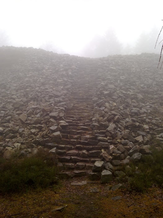
Am Bostalsee angekommen fahrt ihr ein kleines Stück am See entlang. Ausstieg in Eckelhausen, hinauf zum Funkturm und ab in Richtung Hochwald. Über ein Teil des Saarlandradweges kommt zum keltischen Ringwall. Von dort folgt die Abfahrt zur Talsperre und weiter nach Nonnweiler.
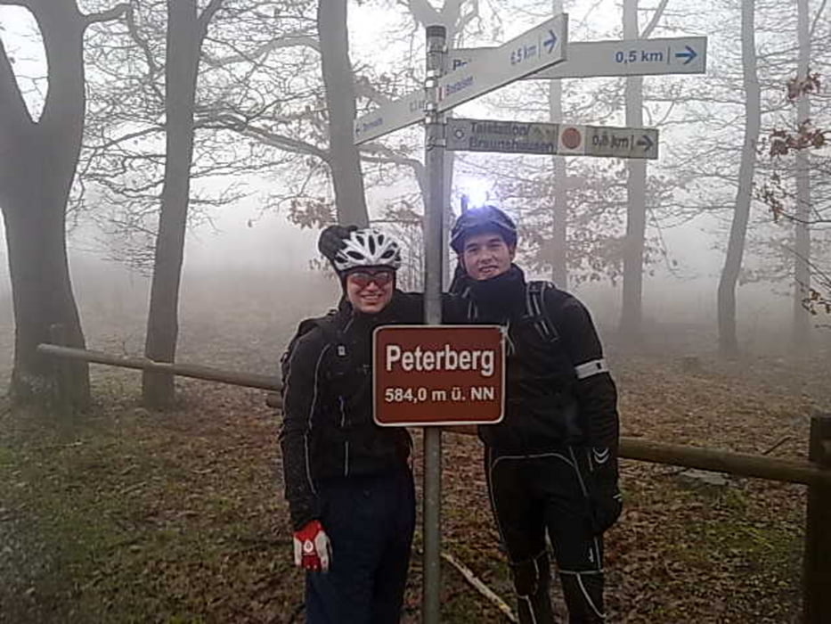
Nun wird der Peterberg angesteuert. Über einen 3 km langen Anstieg (ca. 250 Hm) gelangt ihr zur Sternwarte am Gipfel des Berges.
Üner Feldwege geht es in Richtung Selbach, dann Richtung Theley.
Dort kann man sein Fahrtechnisches Können über einige Trails des "Offizierspfad" unter Beweis stellen.
Am Hofgut Imsbach nehmt ihr den Heimweg auf.
Über den Wareswald geht es zur Rheinstrasse und zurück nach Urexweiler.
Viel Spass beim Nachfahren.
galéria trás
Mapa trasy a výškový profil
Minimum height 305 m
Maximum height 645 m
More about the tour author
|
|
bike82 |
komentáre

GPS trasy
Trackpoints-
GPX / Garmin Map Source (gpx) download
-
TCX / Garmin Training Center® (tcx) download
-
CRS / Garmin Training Center® (crs) download
-
Google Earth (kml) download
-
G7ToWin (g7t) download
-
TTQV (trk) download
-
Overlay (ovl) download
-
Fugawi (txt) download
-
Kompass (DAV) Track (tk) download
-
list trasy (pdf) download
-
Original file of the author (gpx) download
More about the tour author
|
|
bike82 |
Add to my favorites
Remove from my favorites
Edit tags
Open track
My score
Rate