

Start der Runde ist in Senftenberg - bis Meisingeramt geht leicht bergan -- dann rechts abzweigen Richtung Gföhl - hier wartet die erste Prüfung des Tages, 6km geht berauf teils bis 10% ca. 300Hm.
Ist Gföhl erreicht geht dann mal bergab nach Krumau von 580m auf 370m.
Dann entlang dem Kamp und seinen Stauseen (Dobra und Ottenstein) bis Rastenfeld sind gute 200Hm zu überwinden.
Bis nach Weinzirl im Walde geht immer auf und ab.
Dann kommt die längste und steilste Abfahrt über den Seiberer nach Weißenkirchen.
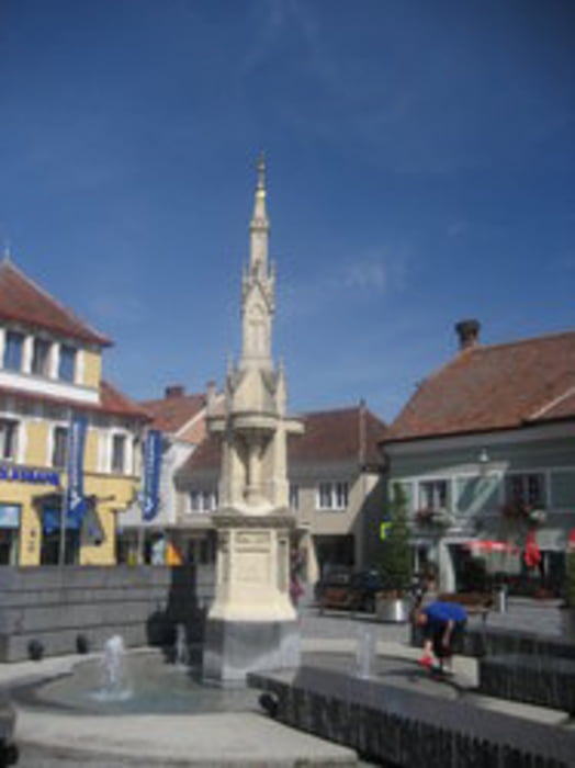
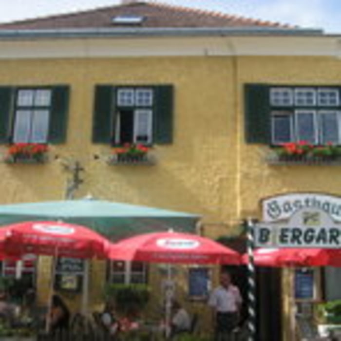
In Weißenkirchen links abgebogen und den Radweg entlang nach Dürrnstein - Unterloiben (in der Wachauer Stube auf ein Marillenknödel einkehren) - Krems und zum Schluss nach Senftenberg
Further information at
http://www.wachauerstube.at/kontakt.phpgaléria trás
Mapa trasy a výškový profil
Minimum height 202 m
Maximum height 676 m
More about the tour author
|
|
der_Bergverfuehrer |
komentáre

Wien A22 - Stockerau Schnellstraße S5 - Krems - Senftenberg
GPS trasy
Trackpoints-
GPX / Garmin Map Source (gpx) download
-
TCX / Garmin Training Center® (tcx) download
-
CRS / Garmin Training Center® (crs) download
-
Google Earth (kml) download
-
G7ToWin (g7t) download
-
TTQV (trk) download
-
Overlay (ovl) download
-
Fugawi (txt) download
-
Kompass (DAV) Track (tk) download
-
list trasy (pdf) download
-
Original file of the author (gpx) download
More about the tour author
|
|
der_Bergverfuehrer |
Add to my favorites
Remove from my favorites
Edit tags
Open track
My score
Rate