Abseits großer Straßen auf kurzem Wege mit normalem Trekkingrad von Dresden in die Region Cottbus zu kommen ist gar nicht so einfach. Die optimale Route ist es sicher noch nicht, aber nah dran. Nördlich Königsbrück sind einige Waldwege im schlechten Zustand. Da auch sonst einige Sandwege genutzt werden, ist die Route für Rennräder sicher nicht geeignet.
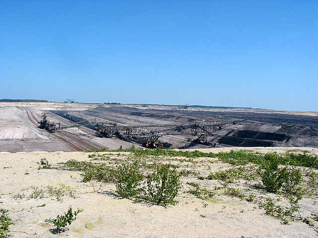
Achtung der Tagebau Welzow dehnt sich immer weiter westwärts aus. Die Straße Kausche-Steinitz ist schon weggebaggert. Man muss ab Welzow die Straße nach Neupetershain und dann die B169 nutzen. (Anmerkung 2013: Es gibt ab Neupetershain rechts der Bahnlinie eine Nebenstraße, die man bis Drebkau nutzen kann.)
Von Drebkau bis Leuthen ist die ehemalige Trasse der Bundesstraße als Radweg ausgebaut. Meines Wissens führt der Radweg auch weiter in Richtung Gaglow und Cottbus.
Mapa trasy a výškový profil
Minimum height 73 m
Maximum height 351 m
komentáre

Bahnhöfe Dresden Hbf, Cottbus, Leuthen, Welzow
GPS trasy
Trackpoints-
GPX / Garmin Map Source (gpx) download
-
TCX / Garmin Training Center® (tcx) download
-
CRS / Garmin Training Center® (crs) download
-
Google Earth (kml) download
-
G7ToWin (g7t) download
-
TTQV (trk) download
-
Overlay (ovl) download
-
Fugawi (txt) download
-
Kompass (DAV) Track (tk) download
-
list trasy (pdf) download
-
Original file of the author (g7t) download
Add to my favorites
Remove from my favorites
Edit tags
Open track
My score
Rate

