Login

Zabudli ste prihlasovacia meno

Cookies have to be accepted!
Your browser's cookie functionality is disabled. Please enable this functionality.

Not a member yet?

Register now
Login

Available for registred users only

Log in to use this feature.

Zabudli ste prihlasovacia meno

Cookies have to be accepted!
Your browser's cookie functionality is disabled. Please enable this functionality.

Not a member yet?

Register now
Filter
Kategórie
Advanced filters
  • Dĺžka (km)
  • výškomer
Uložiť filter Reset filter

TrackRank

QRCode

Technical data

Dĺžka9,1 km výškomer183 m Way down174 m Doba04:30 h:m dátum14.01.2012
ohodnotenia Author Kraj pôžitok z túry kondícia technika

štatistika

1758 náhľady ohodnotenia 64 Stiahnutia priemer
Rate
  • list trasy
  • príjazd
  • Stiahnutia

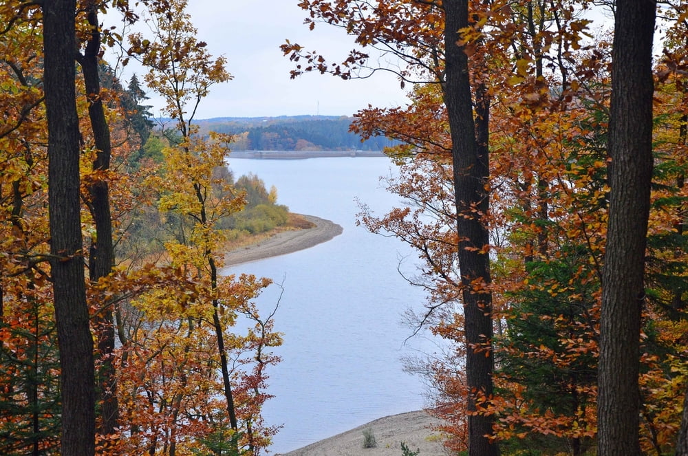
Vom Startpunkt aus gehts erstmal in den Wald und recht steil bergab ins das Tal des Dreilägerbachs. Von dort aus durch das romantische Tal elntlang des Bachs bis zum Vorstaubecken. Dort über die Staumauer und weiter entlang des Weges bis zum Pegelhäuschen des Hasselbachgrabens. Vort dort aus immer auf dem Pfad entlang des Grabens bis man nach einigen km auf eine Straße stößt. Dort gehts dann rechts ab bis hinauf auf die Bergkuppe. Dort wieder recht hinunter immer gerade aus bis zum Ausgangspunkt.

Es war eine herrliche Wanderung in wilder Natur. Störend waren nur ein paar Mountainbiker am Hasselbachgraben die meinten sie hätten Vorfahrt. Am besten einfach in den graben schuppsen. Die haben dort nichts verloren.

galéria trás

Mapa trasy a výškový profil

  • Open Street Map
  • Google
Minimum height 402 m Maximum height 550 m Detailný pohľad

More about the tour author

am287
Member since 2012

Send private message

komentáre

Startpunkt ist an der L12 (Hahnerstraße) Kreuzungspunkt Jägerhausstraße. Es gibt dort keinen Parkplatz aber es besteht die Möglichkeit am Rande des Waldweges zu parken.

GPS trasy

Trackpoints
  • GPX / Garmin Map Source (gpx) download
  • TCX / Garmin Training Center® (tcx) download
  • CRS / Garmin Training Center® (crs) download
  • Google Earth (kml) download
  • G7ToWin (g7t) download
  • TTQV (trk) download
  • Overlay (ovl) download
  • Fugawi (txt) download
  • Kompass (DAV) Track (tk) download
  • list trasy (pdf) download
  • Original file of the author (gpx) download

More about the tour author

am287
Member since 2012

Send private message
Share track
Add to my favorites
Remove from my favorites
Edit tags
My score
Rate
trasa: Dreilägerbachtalsperre Hasselbachgraben
Druh: trasa
Dĺžka: 9,1 km
Evaluated on:
Doba:
Day(s)
Hour(s)
Minute(s)
ohodnotenie: Kraj pôžitok z túry kondícia technika