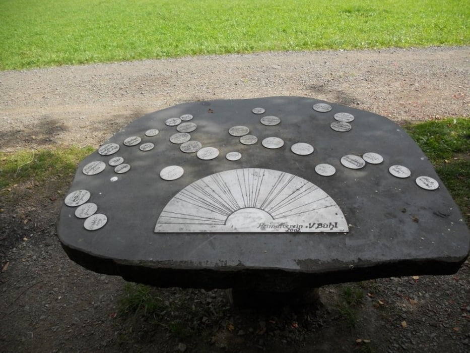
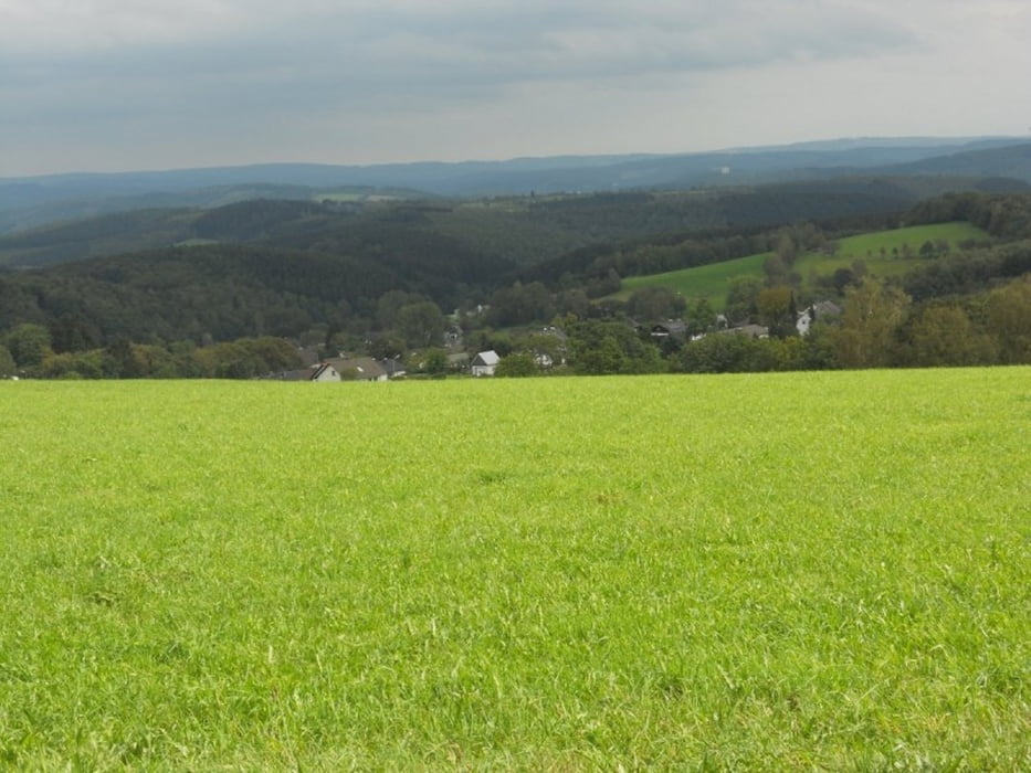
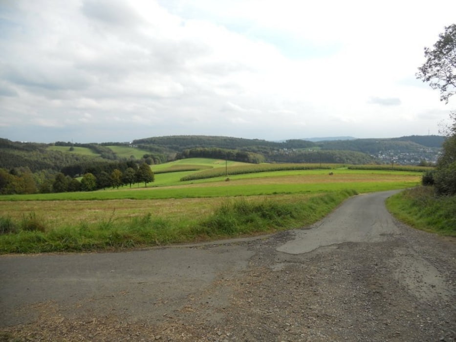
Die Route beginnt auf dem Wanderparkplatz am Sportplatz Büschergrund und führt zum Ischeroth. Dieser Berg bietet eine imposante Weitsicht auf auf das nördliche Siegerland oberhalb von Bühl. Weiter geht der Weg ein Stück zurück und in Richtung Hünsborn Flugplatz über die Autobahn A 45, von da haben wir wunderbare Ausblicke auf Freudenberg und Umgebung. Von da ist es nicht mehr weit bis zum Ausgangspunkt der Tour.
galéria trás
Mapa trasy a výškový profil
Minimum height 320 m
Maximum height 452 m
komentáre

GPS trasy
Trackpoints-
GPX / Garmin Map Source (gpx) download
-
TCX / Garmin Training Center® (tcx) download
-
CRS / Garmin Training Center® (crs) download
-
Google Earth (kml) download
-
G7ToWin (g7t) download
-
TTQV (trk) download
-
Overlay (ovl) download
-
Fugawi (txt) download
-
Kompass (DAV) Track (tk) download
-
list trasy (pdf) download
-
Original file of the author (gpx) download
Add to my favorites
Remove from my favorites
Edit tags
Open track
My score
Rate


