


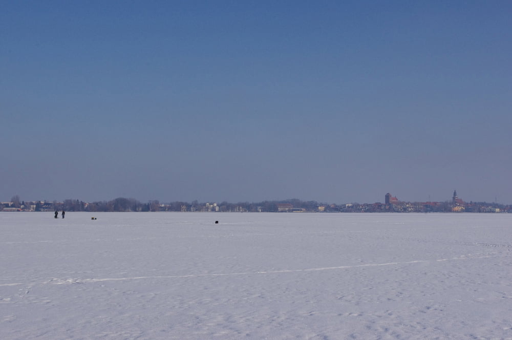
Es ist immer wieder schön am Ufer eines Sees entlang zu gehen wenn dieser zugefroren ist. Im Februar 2012 dehnte sich das Eis der Müritz schneeweiß aus.
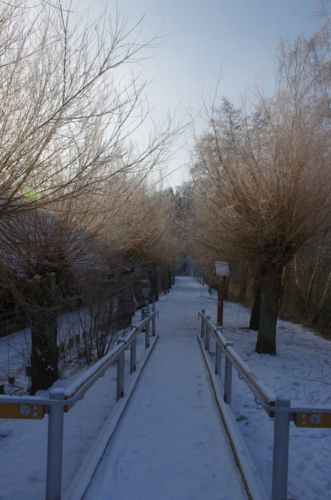
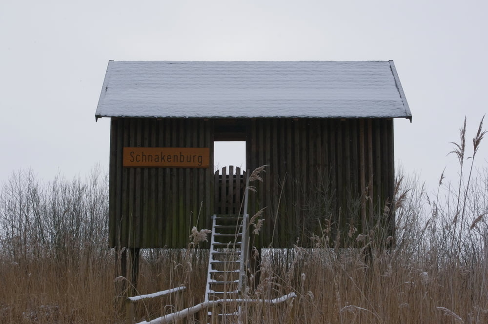
Wir verfolgten die Strandpromenade unterhalb der ehemaligen Berliner Villen um dann doch noch einen Schwenk auf das Eis zu machen. Weiter verfolgten wir den Weg am Strandbad entlang und dann durch den Wald bis zur Schnakenburg.
Jetzt im Winter waren die Quälgeister aber zum Glück nicht anwesend. Dafür biss uns der Frost in das Gesicht.
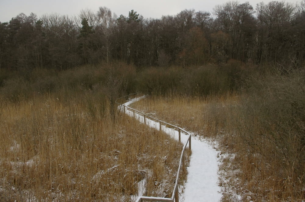
Unseren Rückweg suchten wir uns durch den Wald an den Wienpietschseen vorbei. Leider konnten wir die schönen Bohlenwege nicht begehen. Sie wurden gerade für die nächste Sommersaison instand gesetzt.
Schöner Weg. Nachmachen lohnt.
Further information at
http://www.waren-mueritz.de/galéria trás
Mapa trasy a výškový profil
Minimum height 56 m
Maximum height 79 m
More about the tour author
|
|
Pheinz |
komentáre

GPS trasy
Trackpoints-
GPX / Garmin Map Source (gpx) download
-
TCX / Garmin Training Center® (tcx) download
-
CRS / Garmin Training Center® (crs) download
-
Google Earth (kml) download
-
G7ToWin (g7t) download
-
TTQV (trk) download
-
Overlay (ovl) download
-
Fugawi (txt) download
-
Kompass (DAV) Track (tk) download
-
list trasy (pdf) download
-
Original file of the author (gpx) download
More about the tour author
|
|
Pheinz |
Add to my favorites
Remove from my favorites
Edit tags
Open track
My score
Rate