


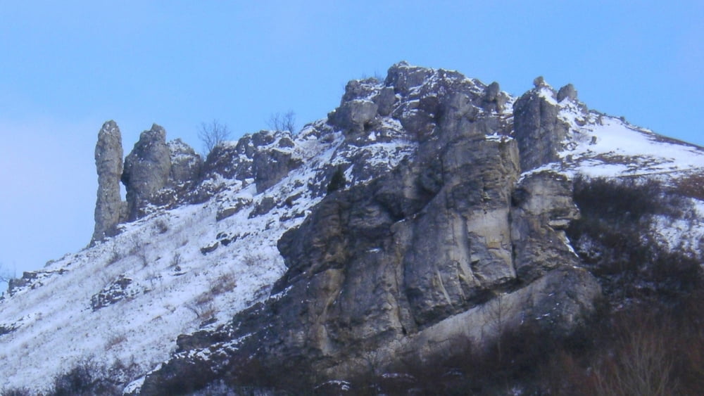
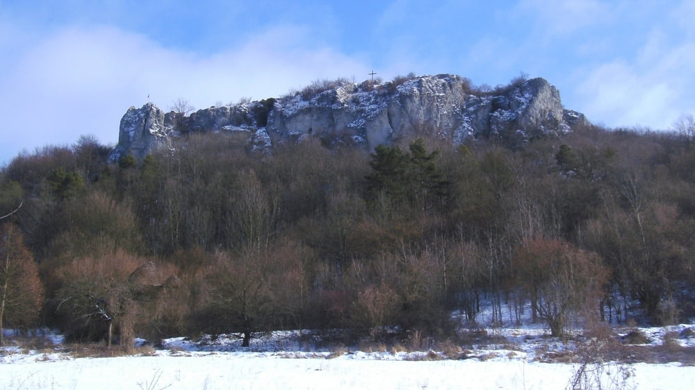
In Schlaifhausen zur Kirche, links ab und bald nach rechts aufwärts zu Parkplatz. Geradeaus fast eben dahin, kurz leicht aufwärts zu Aussichtspunkt mit Kreuz oberhalb Kirchehrenbach: wir genießen den Ausblick in die Fränkische Schweiz, über Kirchehrenbach hinweg zur "Rettener Kanzel" und nach links bis Forchheim.
Kurz zurück,an Info- Tafeln nach rechts abwärts und an Schranke links zurück. An Querweg rechts, kurz abwärts und links ziemlich eben dahin zurück nach Schlaifhausen.
galéria trás


Mapa trasy a výškový profil
Minimum height 360 m
Maximum height 487 m
More about the tour author
|
|
heinz-57 |
komentáre

Google Earth: 49.707278° N / 11.154138° E
Von Forchheim kommend auf B470 bis Reuth, rechts ab, nach Bahnüberführung links und kurz danach rechts aufwärts durch Wiesenthau nach Schlaifhausen.
GPS trasy
Trackpoints-
GPX / Garmin Map Source (gpx) download
-
TCX / Garmin Training Center® (tcx) download
-
CRS / Garmin Training Center® (crs) download
-
Google Earth (kml) download
-
G7ToWin (g7t) download
-
TTQV (trk) download
-
Overlay (ovl) download
-
Fugawi (txt) download
-
Kompass (DAV) Track (tk) download
-
list trasy (pdf) download
-
Original file of the author (gpx) download
More about the tour author
|
|
heinz-57 |
Add to my favorites
Remove from my favorites
Edit tags
Open track
My score
Rate