


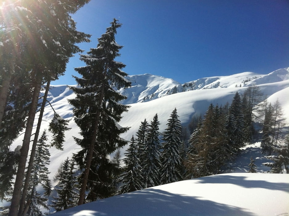
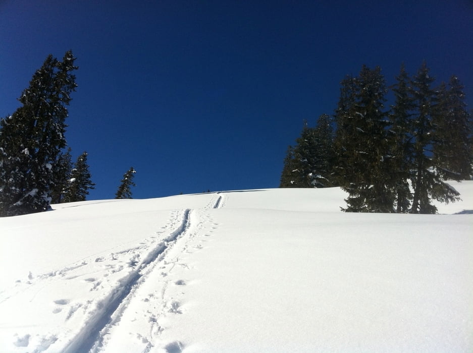
Vom Hirschegg (ca. 2,5 km vor Dienten, von Süden kommend (B311, danach Bundesstrasse richtung Dienten)) den markierten Weg zur Klingspitze einschlagen. Zuerst verläuft die Tour über eine geteerte Strasse (ca. 500 m), danach links abbiegenzur Deutingalm. Die Orientierung über das freie Almgebiet zur Reicheralm stellt kein Problem dar, ebenso bis zur Marbachhöhe, die mit einer großzügigen Linkskehre angesteuert wird. Bei ungünstiger Lawinenlage ist der Anstieg durch den Wald zu bevorzugen (siehe GPX Track für diese Tour).
galéria trás
Mapa trasy a výškový profil
Minimum height 956 m
Maximum height 1795 m
More about the tour author
|
|
thomashoefkens |
komentáre

GPS trasy
Trackpoints-
GPX / Garmin Map Source (gpx) download
-
TCX / Garmin Training Center® (tcx) download
-
CRS / Garmin Training Center® (crs) download
-
Google Earth (kml) download
-
G7ToWin (g7t) download
-
TTQV (trk) download
-
Overlay (ovl) download
-
Fugawi (txt) download
-
Kompass (DAV) Track (tk) download
-
list trasy (pdf) download
-
Original file of the author (gpx) download
More about the tour author
|
|
thomashoefkens |
Add to my favorites
Remove from my favorites
Edit tags
Open track
My score
Rate