


Aufstieg: 3Std.38min.
Abfahrt: 1Std.15min.
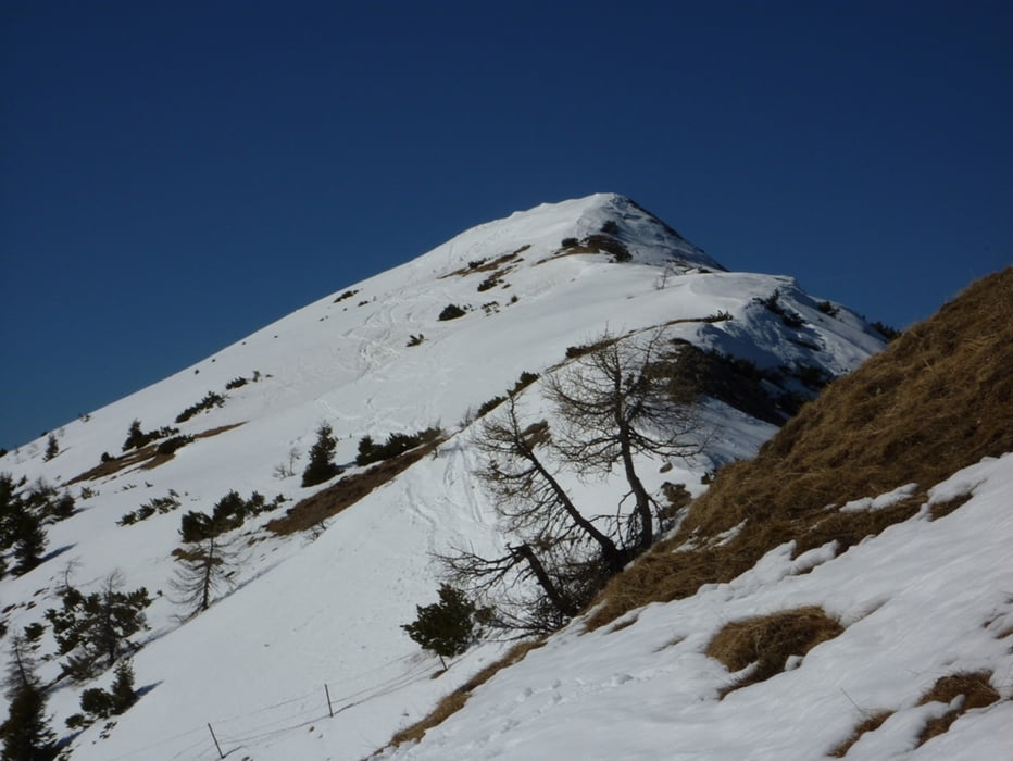
Vom Kraftwerk der markierten Forststraße taleinwärts Richtung Süden folgend, vorbei an der Bärenhütte, bis zur Bachdurchquerung. Entlang des Forstweges auf die feien Flächen der Roschitzaalm und in weiterer Folge zue Rosenkogelhütte. Weiter in westlicher Richtung zum Gipfel.
galéria trás


Mapa trasy a výškový profil
Minimum height 420 m
Maximum height 1899 m
More about the tour author
|
|
harald07071 |
komentáre

Von Villach auf die Karawanken-Autobahn bis zur Abfahrt St.Jakob im Rosental.
Abzweigung rechts nach Rosenbach und weiter im Bärengraben bis zum Kraftwerk der ÖBB.
GPS trasy
Trackpoints-
GPX / Garmin Map Source (gpx) download
-
TCX / Garmin Training Center® (tcx) download
-
CRS / Garmin Training Center® (crs) download
-
Google Earth (kml) download
-
G7ToWin (g7t) download
-
TTQV (trk) download
-
Overlay (ovl) download
-
Fugawi (txt) download
-
Kompass (DAV) Track (tk) download
-
list trasy (pdf) download
-
Original file of the author (gpx) download
More about the tour author
|
|
harald07071 |
Add to my favorites
Remove from my favorites
Edit tags
Open track
My score
Rate