Login

Zabudli ste prihlasovacia meno

Cookies have to be accepted!
Your browser's cookie functionality is disabled. Please enable this functionality.

Not a member yet?

Register now
Login

Available for registred users only

Log in to use this feature.

Zabudli ste prihlasovacia meno

Cookies have to be accepted!
Your browser's cookie functionality is disabled. Please enable this functionality.

Not a member yet?

Register now
Filter
Kategórie
Advanced filters
  • Dĺžka (km)
  • výškomer
Uložiť filter Reset filter

TrackRank

QRCode

Technical data

Dĺžka8,1 km výškomer124 m Way down124 m Doba02:00 h:m dátum28.02.2012
ohodnotenia Author Kraj pôžitok z túry kondícia technika

štatistika

746 náhľady ohodnotenia 46 Stiahnutia priemer
Rate
  • list trasy
  • príjazd
  • Stiahnutia

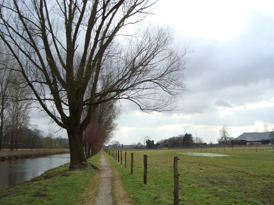
Goede vaste ondergrond.

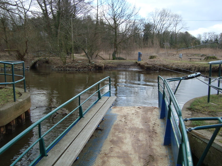
Bij de ferry overzet moet je met 2 zijn om de overtocht te kunnen doen.

Indien je niet met de ferry over wil/kan dan moet je de Niers 300m volgen en via de brug oversteken van de grote baan.

galéria trás

Mapa trasy a výškový profil

  • Open Street Map
  • Google
Minimum height -36 m Maximum height 34 m Detailný pohľad

More about the tour author

ikkel
Member since 2009

Send private message

komentáre

op sommige plaatsen geven kinderwagens en rolstoelen problemen

GPS trasy

Trackpoints
  • GPX / Garmin Map Source (gpx) download
  • TCX / Garmin Training Center® (tcx) download
  • CRS / Garmin Training Center® (crs) download
  • Google Earth (kml) download
  • G7ToWin (g7t) download
  • TTQV (trk) download
  • Overlay (ovl) download
  • Fugawi (txt) download
  • Kompass (DAV) Track (tk) download
  • list trasy (pdf) download
  • Original file of the author (gpx) download

More about the tour author

ikkel
Member since 2009

Send private message
Share track
Add to my favorites
Remove from my favorites
Edit tags
My score
Rate
trasa: Wandelen langs de Niers en het hinterland
Druh: trasa
Dĺžka: 8,1 km
Evaluated on:
Doba:
Day(s)
Hour(s)
Minute(s)
ohodnotenie: Kraj pôžitok z túry kondícia technika