Login

Zabudli ste prihlasovacia meno

Cookies have to be accepted!
Your browser's cookie functionality is disabled. Please enable this functionality.

Not a member yet?

Register now
Login

Available for registred users only

Log in to use this feature.

Zabudli ste prihlasovacia meno

Cookies have to be accepted!
Your browser's cookie functionality is disabled. Please enable this functionality.

Not a member yet?

Register now
Filter
Kategórie
Advanced filters
  • Dĺžka (km)
  • výškomer
Uložiť filter Reset filter

TrackRank

QRCode

Technical data

Dĺžka14,6 km výškomer357 m Way down376 m Doba02:00 h:m dátum09.03.2012
ohodnotenia Author User Kraj pôžitok z túry kondícia technika

štatistika

1260 náhľady 4 ohodnotenia 148 Stiahnutia 4.00 priemer
Rate
  • list trasy
  • príjazd
  • Stiahnutia

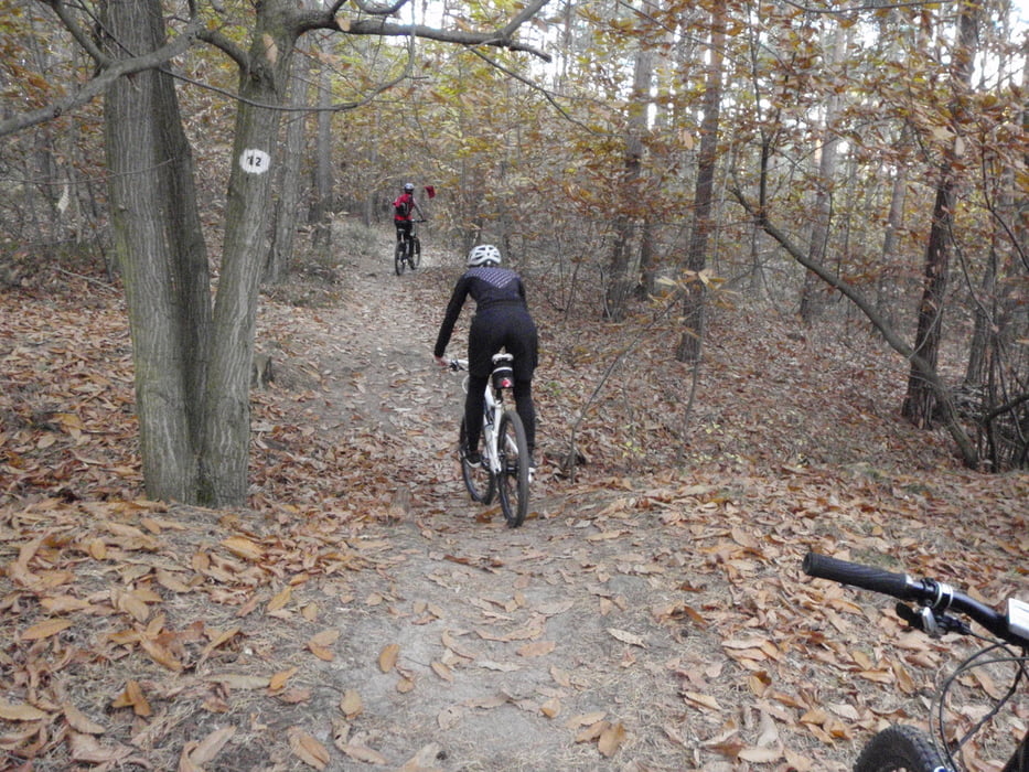
Gemütliche Feierabendtour, größtenteils auf Pfaden und alles gut fahrbar.

Ich würde die Tour mal andersherum ausprobieren. Das könnte ich mir fast noch besser vorstellen.

Wer es so mal ausprobiert, bitte ein kurzes Feedback :)

galéria trás

Mapa trasy a výškový profil

  • Open Street Map
  • Google
Minimum height 278 m Maximum height 506 m Detailný pohľad

More about the tour author

Schebbes
Member since 2010

Send private message

komentáre

U.J._Alexander on 10.05.2012

Schöne Runde

Wirklich nette Runde, fast ausschließlich auf Pfaden. Ideal mal für zwischendurch. Ich bin ab dem Dürkheimer Faß gefahren, so kommt man auf 20 KM und 480 HM.
mkc2 on 26.08.2014

Gute Laune Tour

Sehr schöne Genuß- und Gute-Laune Tour. Alle Anstiege gut fahrbar, Abfahrten flüssig und lustig. Hoher Trail-Anteil. Für Leistungs-Masochisten oder Downhill-Cracks vielleicht zu einfach, super für alle die zum Spaß MTB fahren - so wie ich.
Vielen Dank !
Irie_Guide on 09.05.2015

Super Tour

Bin die Tour gestern gefahren.
Hat richtig viel Spaß gemacht.
Tolle Trails und schöne Aussichtspunkte.
Der letzte Trail war sehr stark zugewachsen, aber gerade noch fahrbar.
Ich werde die Tour auf jeden Fall noch mal fahren. Den letzten Teil dann vielleicht anders.
Parken am Parkplatz kurz hinter dem alten Forsthaus an der Weilach, aus dem Kreisel oberhalb von Leistadt in Richtung Lindemannsruhe, dann links ab. In der Kurve gerade aus auf den Parkplatz.

GPS trasy

Trackpoints
  • GPX / Garmin Map Source (gpx) download
  • TCX / Garmin Training Center® (tcx) download
  • CRS / Garmin Training Center® (crs) download
  • Google Earth (kml) download
  • G7ToWin (g7t) download
  • TTQV (trk) download
  • Overlay (ovl) download
  • Fugawi (txt) download
  • Kompass (DAV) Track (tk) download
  • list trasy (pdf) download
  • Original file of the author (tcx) download

More about the tour author

Schebbes
Member since 2010

Send private message
Share track
Add to my favorites
Remove from my favorites
Edit tags
My score
Rate
trasa: Forsth. Weilach - Ungeheuersee - Lindemansruhe
Druh: horský bicykel
Dĺžka: 14,6 km
Evaluated on:
Doba:
Day(s)
Hour(s)
Minute(s)
ohodnotenie: Kraj pôžitok z túry kondícia technika