


Mächtige Felswände, zu erforschende Trasshöhlen, Urwaldatmosphäre in der Wolfsschlucht mit einzigartigem Wasserfall und sprudelnde Quellen am Wegesrand. Beeindruckend der Wechsel zwischen verträumten Bachtälern und Panoramablicken.Das und viel mehr erwartet uns auf deisen Rundwanderung.
Highlights auf dem Höhlen- und Schluchtensteig Kell
Panoramablicke „Schöne Aussicht“ und „Schweppenburgblick“
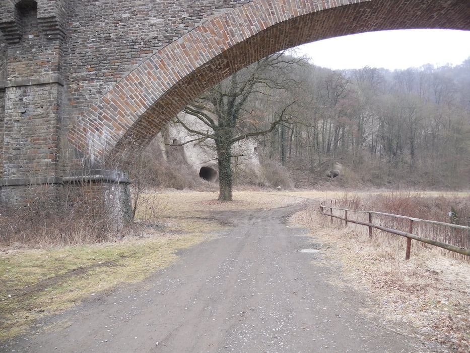
Viadukt des Vulkanexpresses
Trasswände des Laacher See-Vulkans
Trasshöhlen
Ruine Kloster Tönisstein
idyllische Bachtäler
urige Wolfsschlucht mit Wasserfall
sprudelnde Mineralquellen am Wegesrande
Es werden empfohlen feste Schuhwerk zu tragen, da die Pfade sehr weich und teilweise rutschig sind.
Es gibt wirklich viel zu sehen und die Wegführung ist genial!
galéria trás


Mapa trasy a výškový profil
Minimum height 103 m
Maximum height 333 m
More about the tour author
|
|
ajdda |
komentáre

Start und Zielpunkt
56626 Andernach-Kell, Parkplatz Bergwege an der K57
GPS trasy
Trackpoints-
GPX / Garmin Map Source (gpx) download
-
TCX / Garmin Training Center® (tcx) download
-
CRS / Garmin Training Center® (crs) download
-
Google Earth (kml) download
-
G7ToWin (g7t) download
-
TTQV (trk) download
-
Overlay (ovl) download
-
Fugawi (txt) download
-
Kompass (DAV) Track (tk) download
-
list trasy (pdf) download
-
Original file of the author (gpx) download
More about the tour author
|
|
ajdda |
Add to my favorites
Remove from my favorites
Edit tags
Open track
My score
Rate