Login

Zabudli ste prihlasovacia meno

Cookies have to be accepted!
Your browser's cookie functionality is disabled. Please enable this functionality.

Not a member yet?

Register now
Login

Available for registred users only

Log in to use this feature.

Zabudli ste prihlasovacia meno

Cookies have to be accepted!
Your browser's cookie functionality is disabled. Please enable this functionality.

Not a member yet?

Register now
Filter
Kategórie
Advanced filters
  • Dĺžka (km)
  • výškomer
Uložiť filter Reset filter

TrackRank

QRCode

Technical data

Dĺžka30,9 km výškomer1080 m Way down1090 m Doba03:00 h:m dátum19.03.2012
ohodnotenia Author User Kraj pôžitok z túry kondícia technika

štatistika

645 náhľady 3 ohodnotenia 117 Stiahnutia 4.00 priemer
Rate
  • list trasy
  • príjazd
  • Stiahnutia

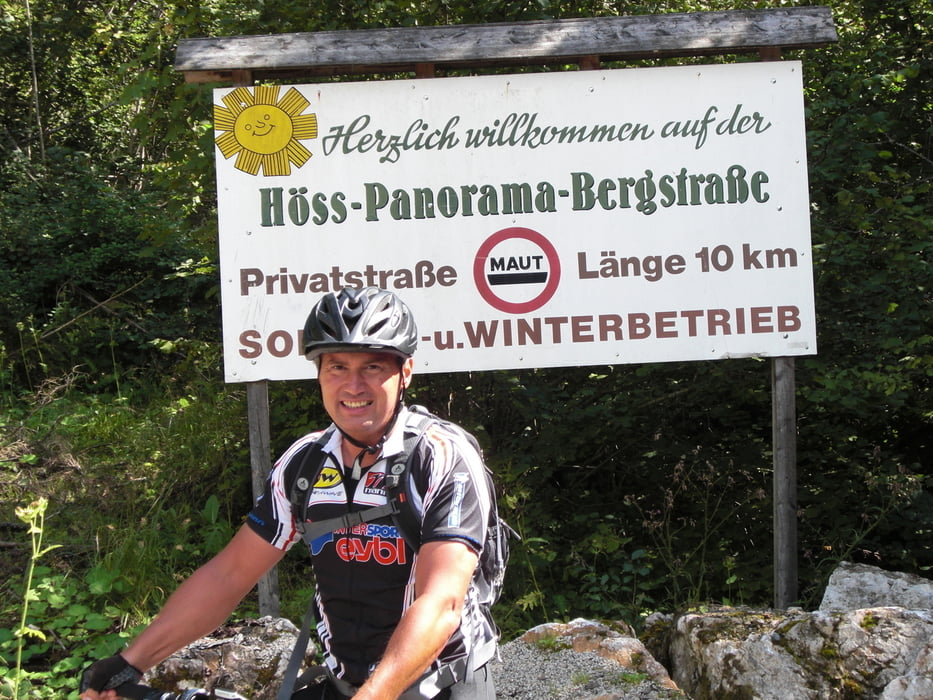
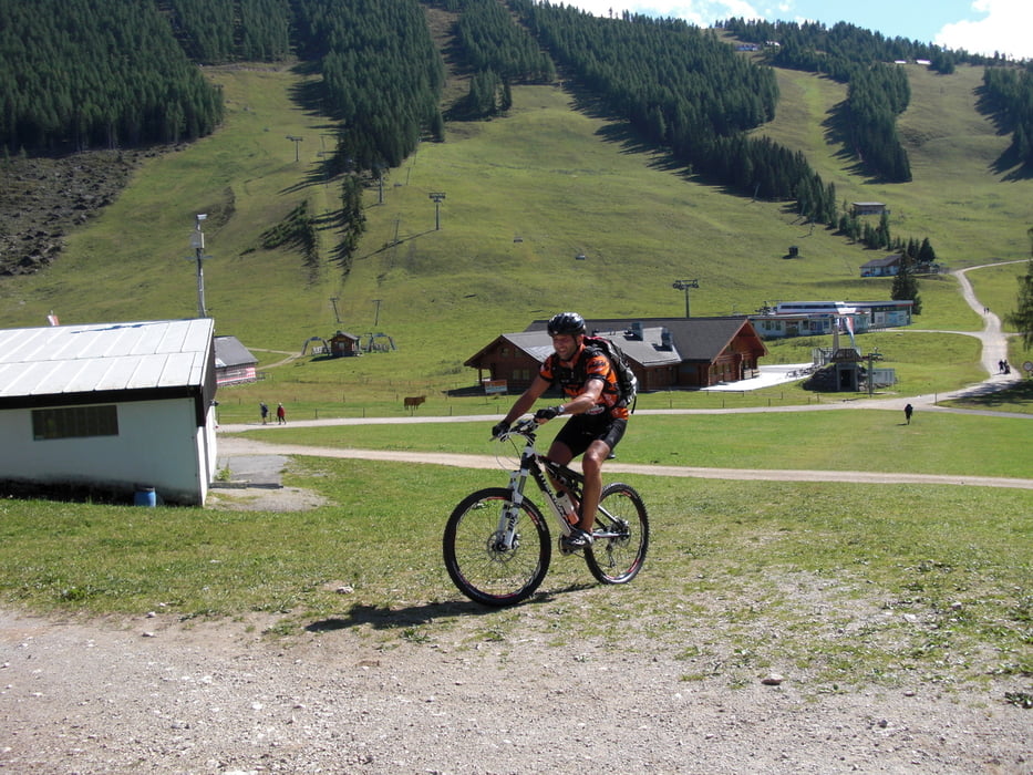
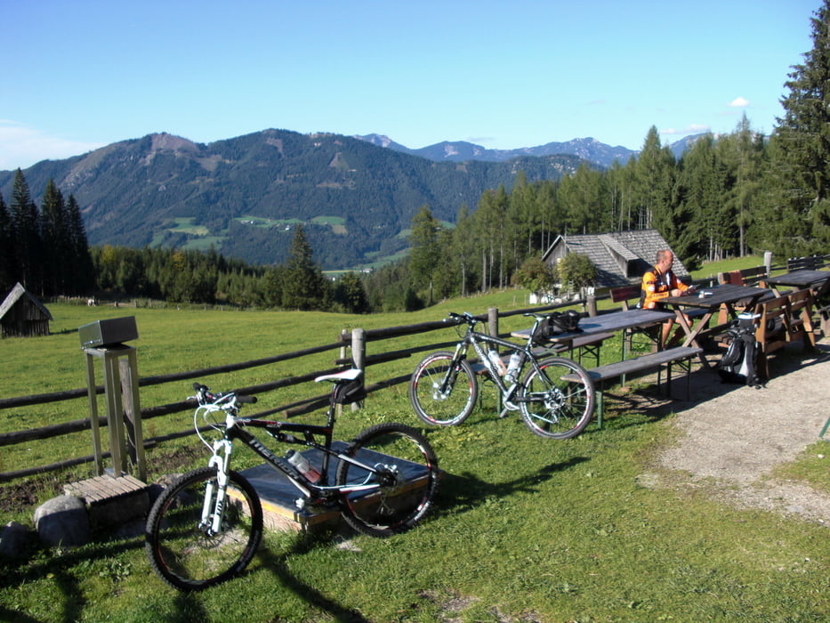
Eine schöne Runde mit einem Asphalt anstieg und einer genialen Abfahrt im Gelände.
Auch gibt es auf diese Runde einige Almhütten zum Einkehren.


galéria trás

Mapa trasy a výškový profil

  • Open Street Map
  • Google
Minimum height 586 m Maximum height 1411 m Detailný pohľad

More about the tour author

MTBRoman
Member since 2010

Send private message

komentáre

GPS trasy

Trackpoints
  • GPX / Garmin Map Source (gpx) download
  • TCX / Garmin Training Center® (tcx) download
  • CRS / Garmin Training Center® (crs) download
  • Google Earth (kml) download
  • G7ToWin (g7t) download
  • TTQV (trk) download
  • Overlay (ovl) download
  • Fugawi (txt) download
  • Kompass (DAV) Track (tk) download
  • list trasy (pdf) download
  • Original file of the author (gpx) download

More about the tour author

MTBRoman
Member since 2010

Send private message
Share track
Add to my favorites
Remove from my favorites
Edit tags
My score
Rate
trasa: Hinterstoder
Druh: horský bicykel
Dĺžka: 30,9 km
Evaluated on:
Doba:
Day(s)
Hour(s)
Minute(s)
ohodnotenie: Kraj pôžitok z túry kondícia technika